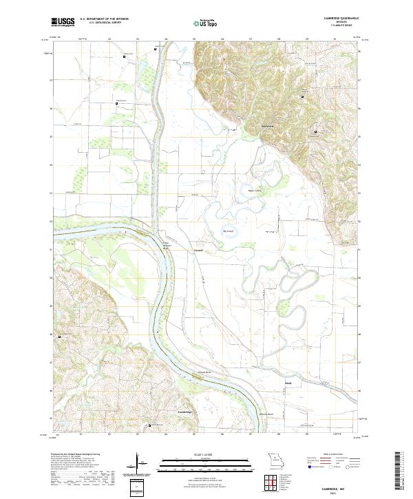
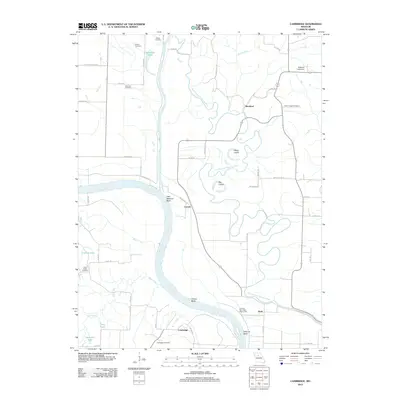
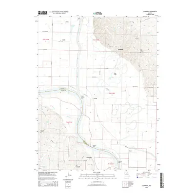
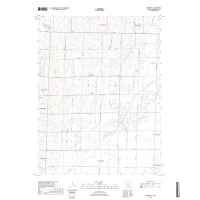
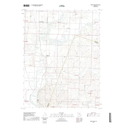
2021 Map of Cambridge
USGS Topo · Published 2021About this map
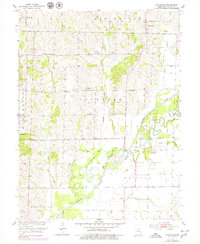
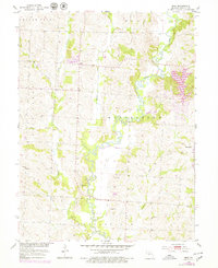
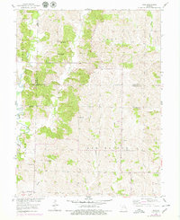
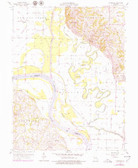
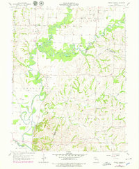
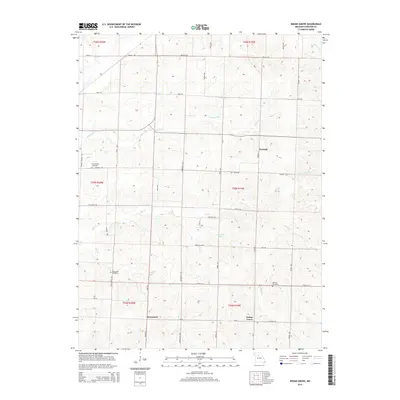
The Missouri River defines the landscape as it winds through the border of Chariton and Saline counties. This riverine environment is marked by significant topographical features such as Little Missouri Bend, Gilliam Bend, and Wilhoite Bend, alongside complex hydrological formations including Hayes Cutoff and Big Cutoff. The influence of the Chariton River is also prominent, feeding into the northern reaches of the area.
Find a feature on this map
57 named features on this map. Tap any name to fly to it.
Don’t see what you’re looking for? This feature index may not catch every label — zoom into the map to look around manually.
Map Details
Editions of this 2021 Cambridge Map
This is the sole edition of this map. No revisions or reprints were ever made.
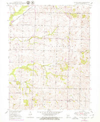
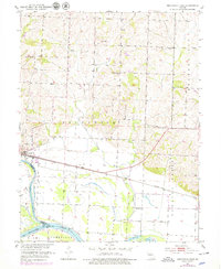
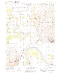
Historical Maps of Rockford Through Time
41 maps found
1949 Indian Grove
Chariton County, MO
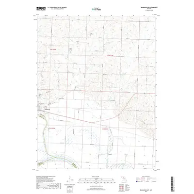
1951 Brunswick East
Chariton County, MO
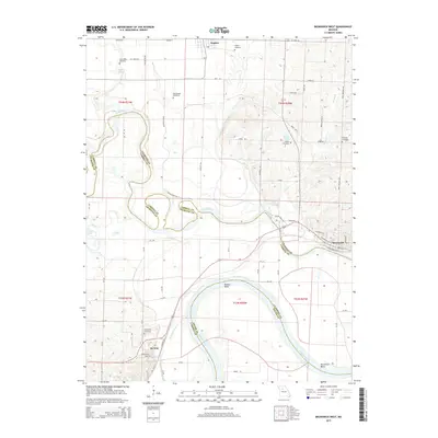
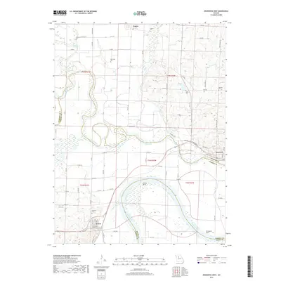
1951 Brunswick West
Chariton County, MO
1953 Bynumville
Chariton County, MO
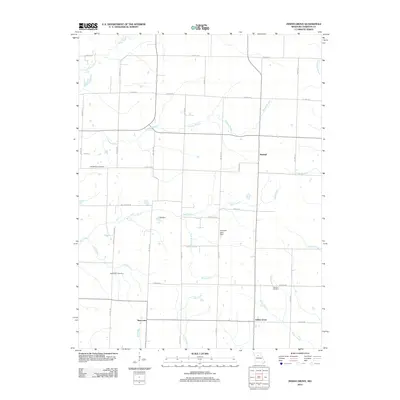
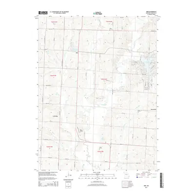
1953 Mike
Chariton County, MO
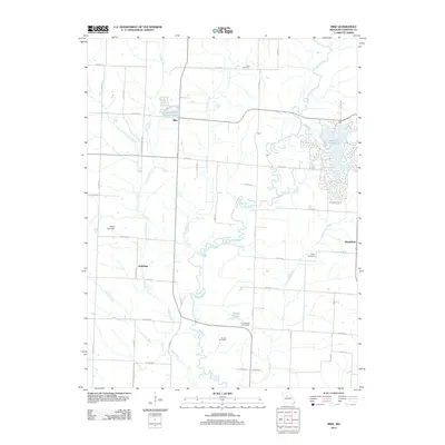
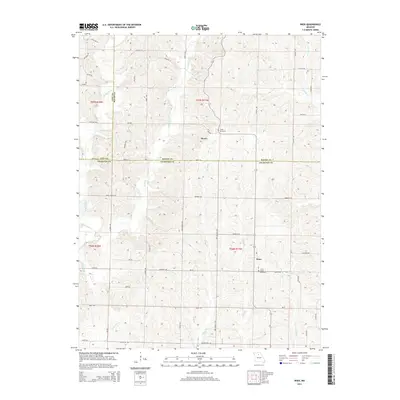
1953 Wien
Chariton County, MO
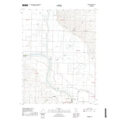
1956 Cambridge
Chariton County, MO
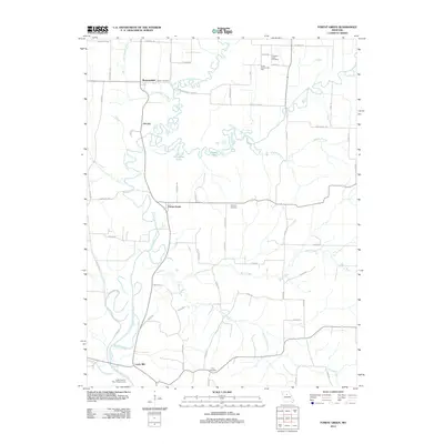
1956 Forest Green
Chariton County, MO
2012 Brunswick East
Chariton County, MO
2012 Brunswick West
Chariton County, MO
2012 Bynumville
Chariton County, MO
2012 Cambridge
Chariton County, MO
2012 Forest Green
Chariton County, MO
2012 Indian Grove
Chariton County, MO
2012 Mike
Chariton County, MO
2012 Wien
Chariton County, MO
2014 Bynumville
Chariton County, MO
2014 Cambridge
Chariton County, MO
2014 Forest Green
Chariton County, MO
2014 Mike
Chariton County, MO
2014 Wien
Chariton County, MO

2015 Brunswick East
Chariton County, MO
2015 Brunswick West
Chariton County, MO
2015 Indian Grove
Chariton County, MO
2017 Brunswick East
Chariton County, MO
2017 Brunswick West
Chariton County, MO
2017 Bynumville
Chariton County, MO
2017 Cambridge
Chariton County, MO
2017 Forest Green
Chariton County, MO
2017 Indian Grove
Chariton County, MO
2017 Mike
Chariton County, MO
2017 Wien
Chariton County, MO
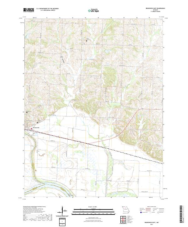
2021 Brunswick East
Chariton County, MO
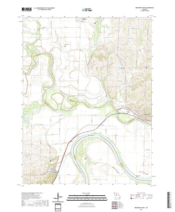
2021 Brunswick West
Chariton County, MO
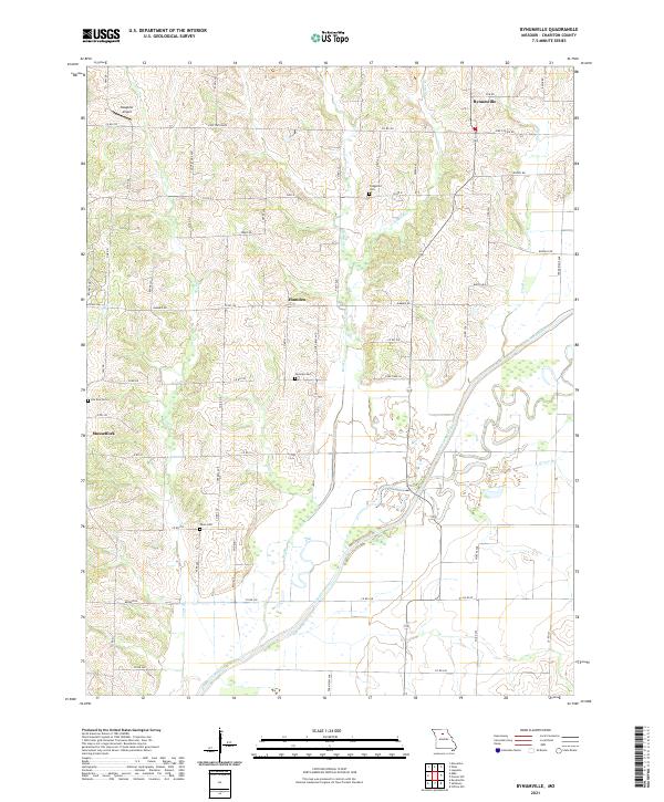
2021 Bynumville
Chariton County, MO
2021 Cambridge
Chariton County, MO
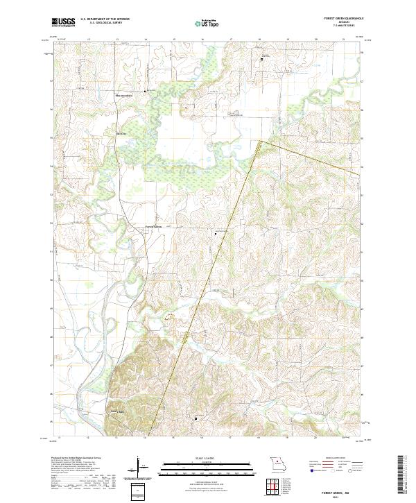
2021 Forest Green
Chariton County, MO
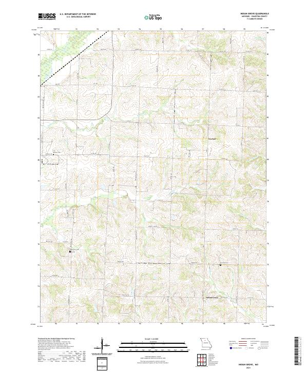
2021 Indian Grove
Chariton County, MO
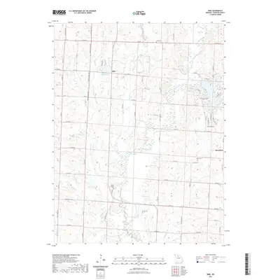
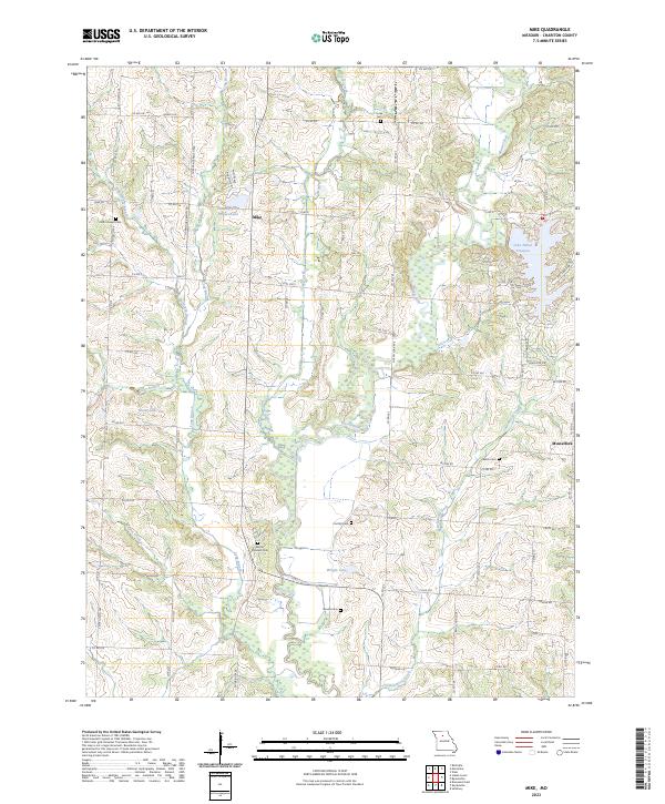
2021 Mike
Chariton County, MO
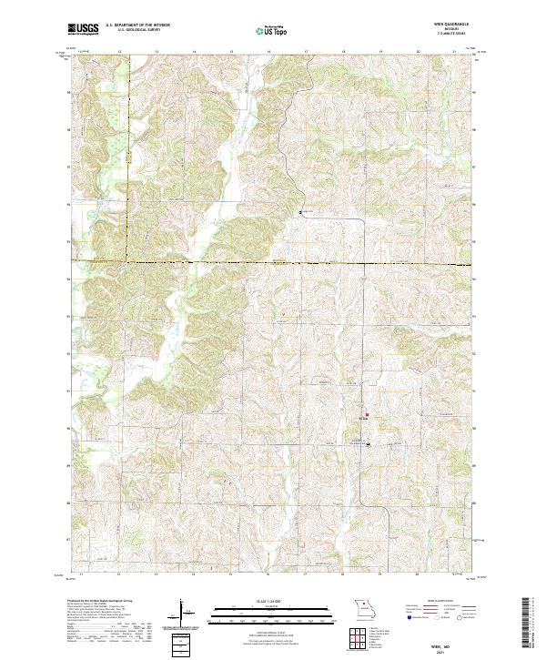
2021 Wien
Chariton County, MO
2023 Mike
Chariton County, MO