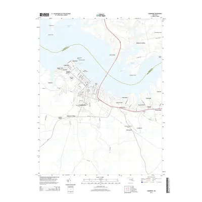
2014 Map of Cambridge
USGS Topo · Published 2014About this map
Cambridge sits at the heart of this coastal Maryland landscape, defined by its intricate shoreline along the Choptank River and its tributaries. The city is surrounded by a network of established neighborhoods and developments including Algonquin, Patamoke Village, and Lodgecliff. The survey reveals a significant density of genealogical landmarks, particularly concentrated burial grounds such as Cambridge Cemetery and Bethel Cemetery, which reflect the long-standing community history of Dorchester Co.
Find a feature on this map
83 named features on this map. Tap any name to fly to it.
Don’t see what you’re looking for? This feature index may not catch every label — zoom into the map to look around manually.
Map Details
Editions of this 2014 Cambridge Map
This is the sole edition of this map. No revisions or reprints were ever made.
Other maps of this area

1898 · Choptank
USGS Topo · 1:125,000

1898 · St. Marys
USGS Topo · 1:125,000

1903 · Nanticoke
USGS Topo · 1:62,500

1904 · Oxford
USGS Topo · 1:62,500

1905 · Crapo
USGS Topo · 1:62,500

1905 · Hurlock
USGS Topo · 1:62,500

1906 · St. Marys
USGS Topo · 1:125,000

1908 · Choptank
USGS Topo · 1:125,000

1942 · Oxford
USGS Topo · 1:31,680

1942 · Church Creek
USGS Topo · 1:24,000