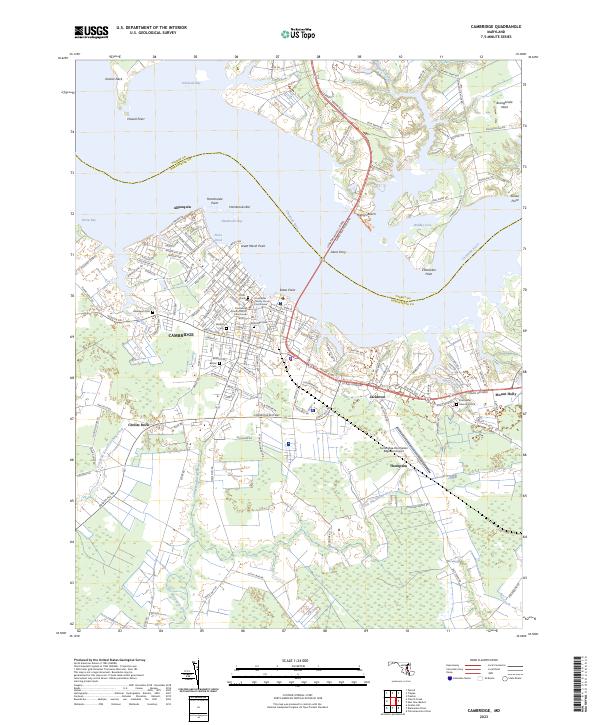
2023 Map of Cambridge
USGS Topo · Published 2023About this map
Cambridge dominates the southern bank of the Choptank River, showing a dense urban grid that contrasts with the expansive wetlands and tidal reaches of the Eastern Shore. The landscape is defined by its relationship with the water, from the industrial and recreational frontage at Hambrooke Point to the marshy lowlands surrounding the Little Blackwater River. Numerous historic burial sites, including Greenlawn Cem and Waugh Cem, are preserved within the city limits, providing significant points of interest for genealogical research.
Find a feature on this map
151 named features on this map. Tap any name to fly to it.
Don’t see what you’re looking for? This feature index may not catch every label — zoom into the map to look around manually.
Map Details
Editions of this 2023 Cambridge Map
This is the sole edition of this map. No revisions or reprints were ever made.
Other maps of this area

1898 · Choptank
USGS Topo · 1:125,000

1898 · St. Marys
USGS Topo · 1:125,000

1903 · Nanticoke
USGS Topo · 1:62,500

1904 · Oxford
USGS Topo · 1:62,500

1905 · Crapo
USGS Topo · 1:62,500

1905 · Hurlock
USGS Topo · 1:62,500

1906 · St. Marys
USGS Topo · 1:125,000

1908 · Choptank
USGS Topo · 1:125,000

1942 · Oxford
USGS Topo · 1:31,680

1942 · Church Creek
USGS Topo · 1:24,000
Featured Places
- Cambridge, MD
- Garden Estates, MD
- Handly Mobile Home Park, MD
- Whiteley, MD
- Dorchester Mobile Home Village, MD