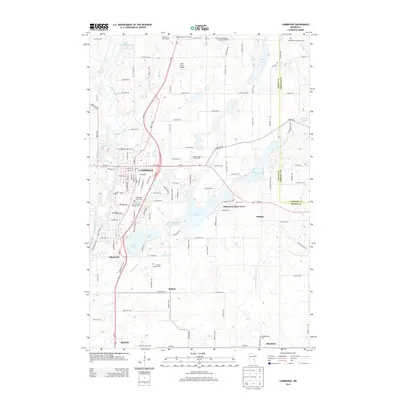
2013 Map of Cambridge
USGS Topo · Published 2013About this map
Cambridge and Isanti serve as the primary hubs in this Isanti County landscape, where the Rum River winds through the western terrain. The area is marked by a dense concentration of cemeteries that reflect the region's diverse denominational heritage, including the Cambridge Lutheran Cem, Christ the King Catholic Cem, and the Grandy Swedish Day Adventist Cem. The survey captures the transition between organized town grids and the sprawling wetlands and lakes that define east-central Minnesota.
Find a feature on this map
130 named features on this map. Tap any name to fly to it.
Don’t see what you’re looking for? This feature index may not catch every label — zoom into the map to look around manually.
Map Details
Editions of this 2013 Cambridge Map
This is the sole edition of this map. No revisions or reprints were ever made.
Other maps of this area

1916 · St. Francis
USGS Topo · 1:62,500

1919 · St. Francis
USGS Topo · 1:62,500

1953 · Stillwater
USGS Topo · 1:250,000

1955 · Isanti
USGS Topo · 1:62,500

1955 · Stillwater
USGS Topo · 1:250,000

1958 · Stillwater
USGS Topo · 1:250,000

1961 · Bradford
USGS Topo · 1:24,000

1961 · Cambridge
USGS Topo · 1:62,500

1961 · Springvale
USGS Topo · 1:24,000

1961 · Dalbo
USGS Topo · 1:62,500