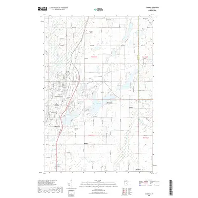
2019 Map of Cambridge
USGS Topo · Published 2019About this map
The Rum River winds through the western edge of this Isanti County landscape, anchoring a region defined by its small settlements and numerous glacial lakes. The city of Cambridge serves as the primary hub, where several denominational burial grounds including Cambridge Lutheran Cem and Christ the King Catholic Cem speak to the area's deep Lutheran and Catholic heritage. To the south, the community of Isanti and the smaller hamlets of Bodum and Blomford are linked by a grid of rural roads and agricultural sections, illustrating the steady residential pattern across the plains.
Find a feature on this map
120 named features on this map. Tap any name to fly to it.
Don’t see what you’re looking for? This feature index may not catch every label — zoom into the map to look around manually.
Map Details
Editions of this 2019 Cambridge Map
This is the sole edition of this map. No revisions or reprints were ever made.
Other maps of this area

1916 · St. Francis
USGS Topo · 1:62,500

1919 · St. Francis
USGS Topo · 1:62,500

1953 · Stillwater
USGS Topo · 1:250,000

1955 · Isanti
USGS Topo · 1:62,500

1955 · Stillwater
USGS Topo · 1:250,000

1958 · Stillwater
USGS Topo · 1:250,000

1961 · Bradford
USGS Topo · 1:24,000

1961 · Cambridge
USGS Topo · 1:62,500

1961 · Springvale
USGS Topo · 1:24,000

1961 · Dalbo
USGS Topo · 1:62,500