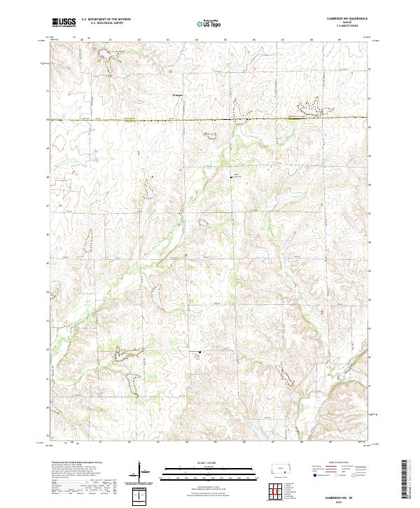
2022 Map of Cambridge NW
USGS Topo · Published 2022About this map
Wingate marks the northern boundary of this Cowley County landscape, situated where the high plains begin to break into the drainage systems of the Flint Hills region. The terrain is defined by a dense network of seasonal and permanent waterways, including Grouse Creek and its tributary Gardners Br in the southeast. This map illustrates a transition from the structured grid of the Public Land Survey System to a more topographic-dependent road network, where routes like Munson Hill Rd and Satchell Creek Rd follow the natural ridges and valleys. For those tracing family histories in the area, the map preserves the locations of Mount Vernon Cem and Timber Creek Cem, both situated near the winding path of Timber Creek. The concentration of creek systems such as Upper Dutch Cr and Goose Cr reveals a pastoral landscape historically reliant on these drainage patterns for cattle grazing and agriculture.
Find a feature on this map
44 named features on this map. Tap any name to fly to it.
Don’t see what you’re looking for? This feature index may not catch every label — zoom into the map to look around manually.
Map Details
Editions of this 2022 Cambridge NW Map
This is the sole edition of this map. No revisions or reprints were ever made.
Other maps of this area

1888 · Eldorado
USGS Topo · 1:125,000

1889 · Burden
USGS Topo · 1:125,000

1955 · Wichita
USGS Topo · 1:250,000

1958 · Wichita
USGS Topo · 1:250,000

1962 · Grand Summit
USGS Topo · 1:24,000

1962 · Cambridge
USGS Topo · 1:24,000

1964 · Augusta SE
USGS Topo · 1:24,000

1964 · Latham
USGS Topo · 1:24,000

1964 · Cambridge NW
USGS Topo · 1:24,000
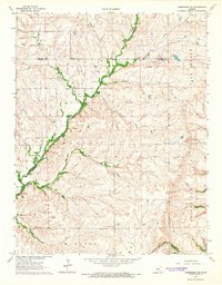
1964 · Cambridge NE
USGS Topo · 1:24,000