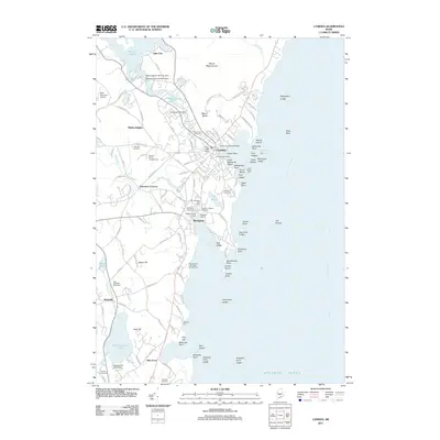
2011 Map of Camden
USGS Topo · Published 2011About this map
Mount Megunticook and Mount Battie overlook a coastline where industrial history and maritime recreation converge. The legacy of local lime production and manufacturing is visible through features like the Rockport Historic Kiln Area and several water-power sites, including the Knox Mill Dam and Seabright Mill Dam on the Megunticook River. The harbor geography is densely detailed, showing the Northeast Passage leading into Rockport Harbor and the essential Curtis Island Light guarding the entrance.
Find a feature on this map
137 named features on this map. Tap any name to fly to it.
Don’t see what you’re looking for? This feature index may not catch every label — zoom into the map to look around manually.
Map Details
Editions of this 2011 Camden Map
This is the sole edition of this map. No revisions or reprints were ever made.
Other maps of this area

1902 · Castine
USGS Topo · 1:62,500

1904 · Castine
USGS Topo · 1:62,500

1904 · Vinalhaven
USGS Topo · 1:62,500

1904 · Rockland
USGS Topo · 1:62,500

1905 · Penobscot Bay
USGS Topo · 1:125,000

1906 · Rockland
USGS Topo · 1:62,500

1915 · Belfast
USGS Topo · 1:62,500

1917 · Belfast
USGS Topo · 1:62,500

1941 · Belfast
USGS Topo · 1:62,500

1941 · Rockland
USGS Topo · 1:62,500