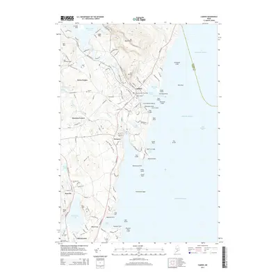
2014 Map of Camden
USGS Topo · Published 2014About this map
Camden and Rockport anchor this coastal portrait of Knox County, where the mountains of the Camden Hills meet the Atlantic. The landscape is defined by the steep rises of Mt Megunticook, Mt Battie, and Bald Mtn, creating a dramatic backdrop for the harbors at Sherman Cove and Camden Harbor. Inland, the terrain is dotted with significant freshwater bodies like Megunticook Lake and Chickawaukie Pond, connected by the winding path of the Goose River.
Find a feature on this map
146 named features on this map. Tap any name to fly to it.
Don’t see what you’re looking for? This feature index may not catch every label — zoom into the map to look around manually.
Map Details
Editions of this 2014 Camden Map
This is the sole edition of this map. No revisions or reprints were ever made.
Other maps of this area

1902 · Castine
USGS Topo · 1:62,500

1904 · Castine
USGS Topo · 1:62,500

1904 · Vinalhaven
USGS Topo · 1:62,500

1904 · Rockland
USGS Topo · 1:62,500

1905 · Penobscot Bay
USGS Topo · 1:125,000

1906 · Rockland
USGS Topo · 1:62,500

1915 · Belfast
USGS Topo · 1:62,500

1917 · Belfast
USGS Topo · 1:62,500

1941 · Belfast
USGS Topo · 1:62,500

1941 · Rockland
USGS Topo · 1:62,500