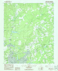
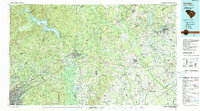
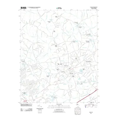
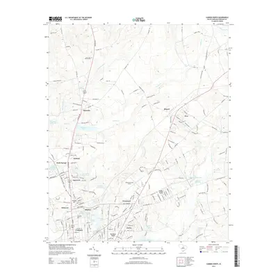
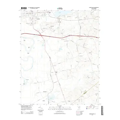
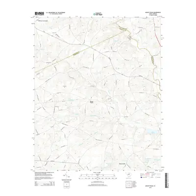
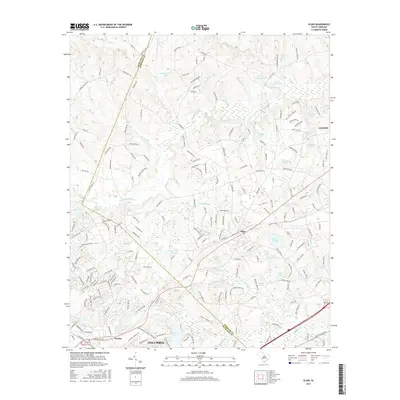
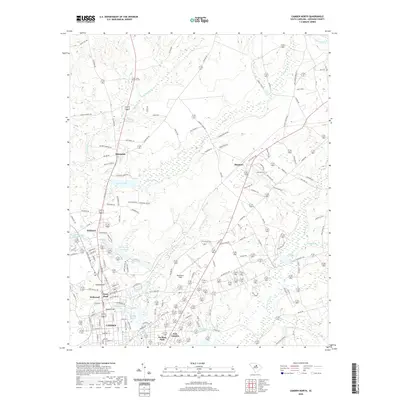
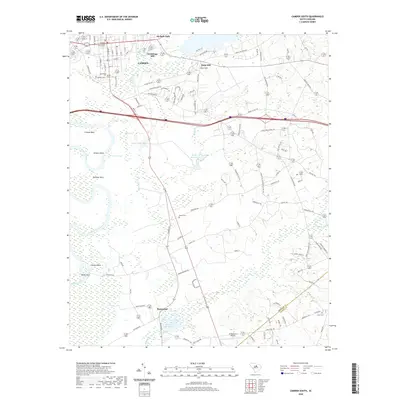
1988 Map of Camden North
USGS Topo · Published 1988About this map
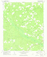
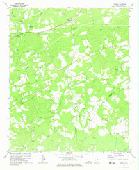
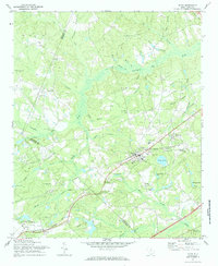
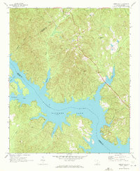
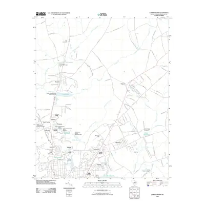
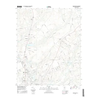
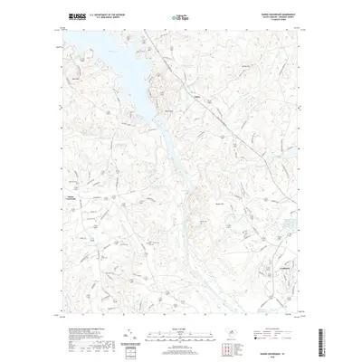
Camden serves as the focal point of this South Carolina landscape, where the northern edges of the city meet a complex network of waterways and early aviation infrastructure. The terrain is defined by the convergence of Gum Swamp Creek, Sanders Creek, and the dual branches of Big Pine Tree Creek, creating a landscape dotted with impoundments like Vaughns Mill Pond and Adams Mill Pond. This 1980s-era documentation highlights the transition from the concentrated residential blocks of the county seat to outlying settlements like Kirkland and Shepard.
Find a feature on this map
26 named features on this map. Tap any name to fly to it.
Don’t see what you’re looking for? This feature index may not catch every label — zoom into the map to look around manually.
Map Details
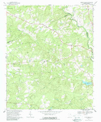
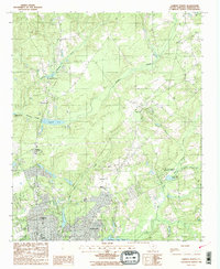
Editions of this 1988 Camden North Map
2 editions found
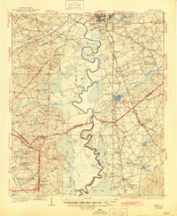
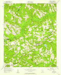
Historical Maps of Camden Through Time
63 maps found
1938 Hagood
Kershaw County, SC
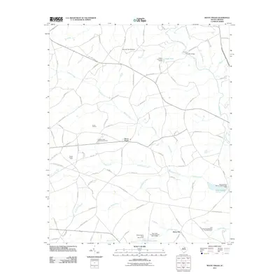
1953 Blaney
Kershaw County, SC

1953 Camden South
Kershaw County, SC
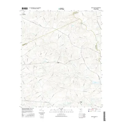
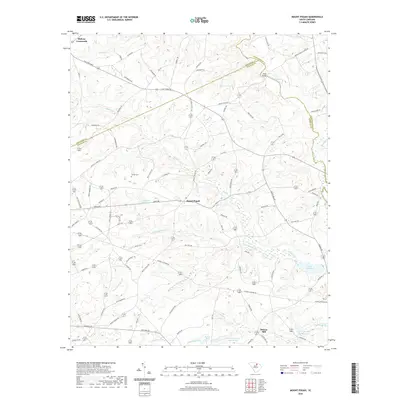
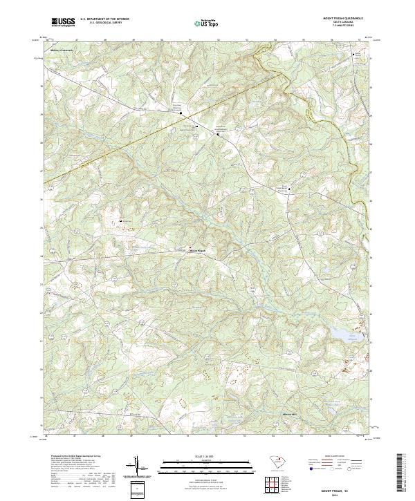
1967 Mount Pisgah
Kershaw County, SC
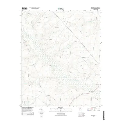
1970 Bethune NW
Kershaw County, SC
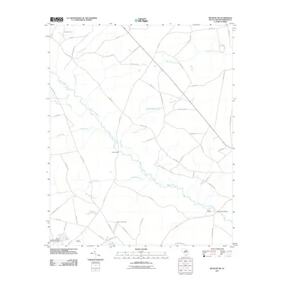
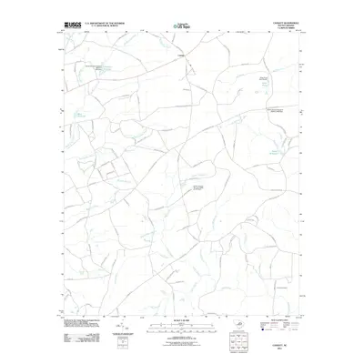
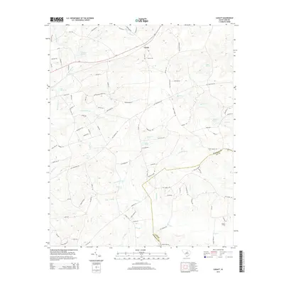
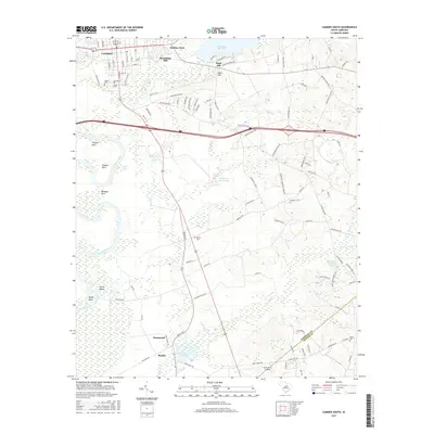
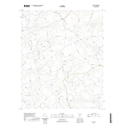
1970 Cassatt
Kershaw County, SC
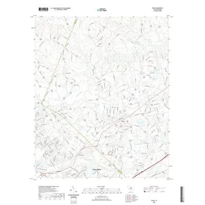
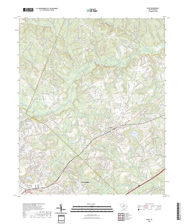
1971 Elgin
Kershaw County, SC
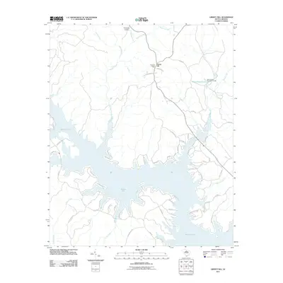
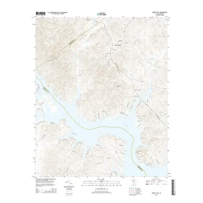
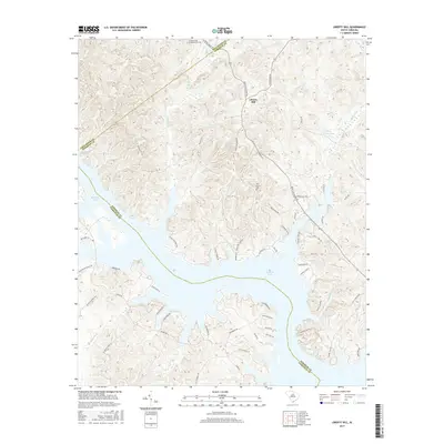
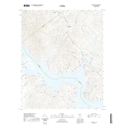
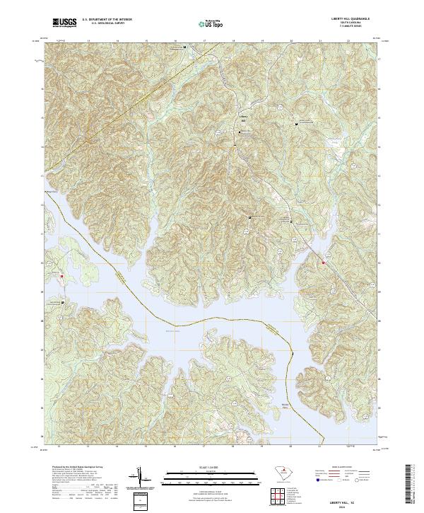
1971 Liberty Hill
Kershaw County, SC
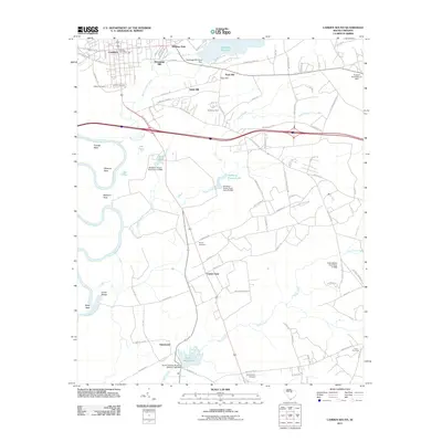
1986 Camden South
Kershaw County, SC
1988 Camden North
Kershaw County, SC
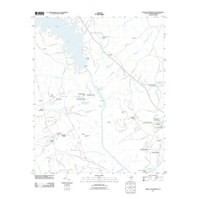
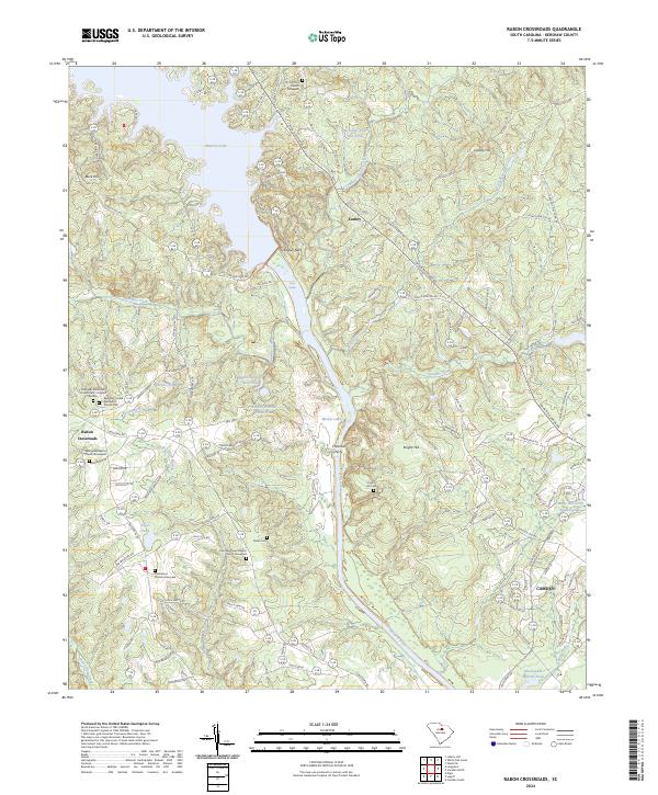
1988 Rabon Crossroads
Kershaw County, SC
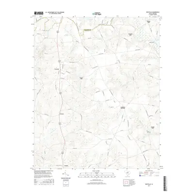
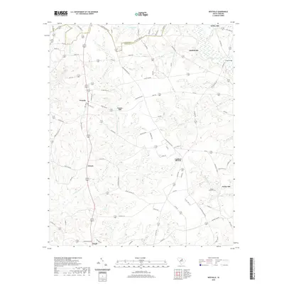
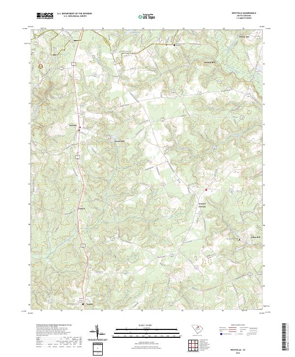
1988 Westville
Kershaw County, SC

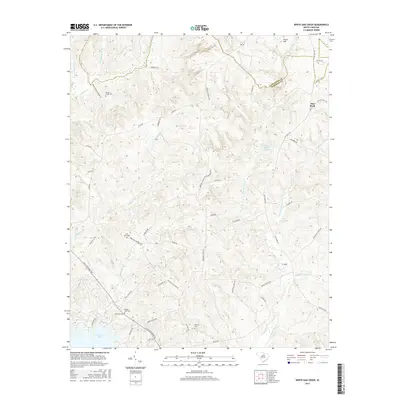
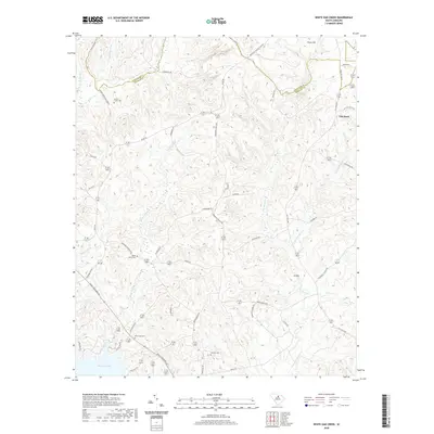
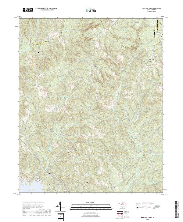
1988 White Oak Creek
Kershaw County, SC
2011 Bethune NW
Kershaw County, SC
2011 Camden North
Kershaw County, SC
2011 Camden South
Kershaw County, SC
2011 Cassatt
Kershaw County, SC
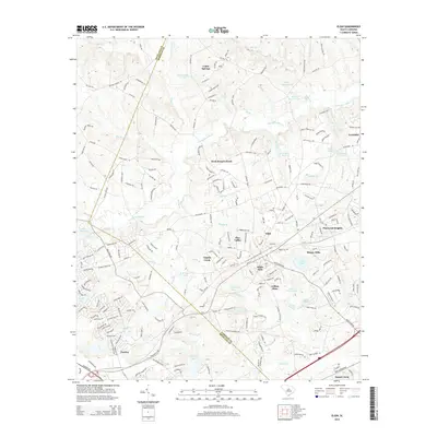
2011 Elgin
Kershaw County, SC
2011 Liberty Hill
Kershaw County, SC
2011 Mount Pisgah
Kershaw County, SC
2011 Rabon Crossroads
Kershaw County, SC
2011 Westville
Kershaw County, SC
2011 White Oak Creek
Kershaw County, SC
2014 Bethune NW
Kershaw County, SC
2014 Camden North
Kershaw County, SC
2014 Camden South
Kershaw County, SC
2014 Cassatt
Kershaw County, SC
2014 Elgin
Kershaw County, SC
2014 Liberty Hill
Kershaw County, SC
2014 Mount Pisgah
Kershaw County, SC
2014 Rabon Crossroads
Kershaw County, SC
2014 Westville
Kershaw County, SC
2014 White Oak Creek
Kershaw County, SC
2017 Bethune NW
Kershaw County, SC
2017 Camden North
Kershaw County, SC
2017 Camden South
Kershaw County, SC
2017 Cassatt
Kershaw County, SC
2017 Elgin
Kershaw County, SC
2017 Liberty Hill
Kershaw County, SC
2017 Mount Pisgah
Kershaw County, SC
2017 Rabon Crossroads
Kershaw County, SC
2017 Westville
Kershaw County, SC
2017 White Oak Creek
Kershaw County, SC
2020 Bethune NW
Kershaw County, SC
2020 Camden North
Kershaw County, SC
2020 Camden South
Kershaw County, SC
2020 Cassatt
Kershaw County, SC
2020 Elgin
Kershaw County, SC
2020 Liberty Hill
Kershaw County, SC
2020 Mount Pisgah
Kershaw County, SC
2020 Rabon Crossroads
Kershaw County, SC
2020 Westville
Kershaw County, SC
2020 White Oak Creek
Kershaw County, SC
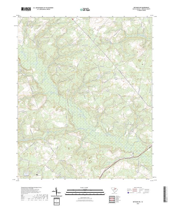
2024 Bethune NW
Kershaw County, SC
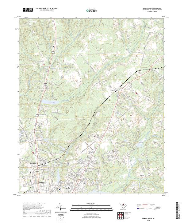
2024 Camden North
Kershaw County, SC
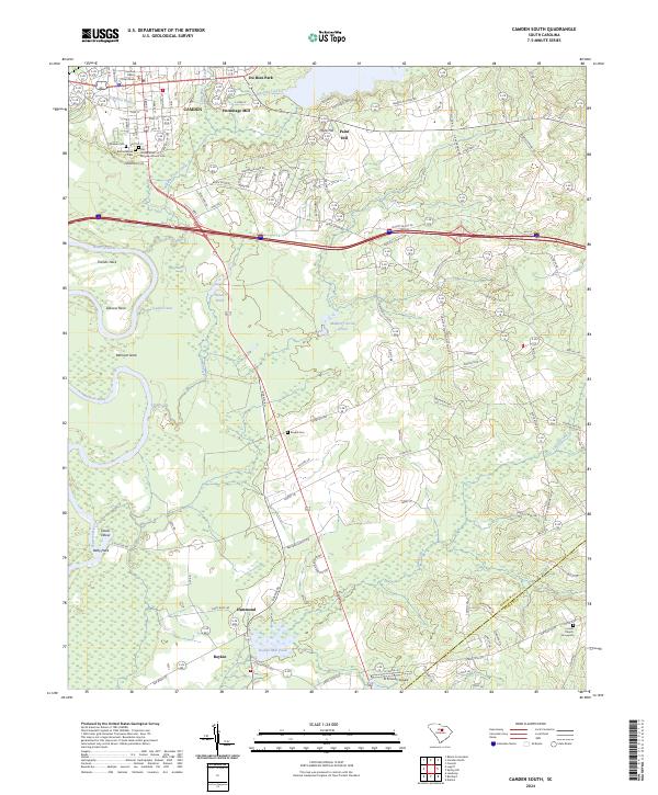
2024 Camden South
Kershaw County, SC
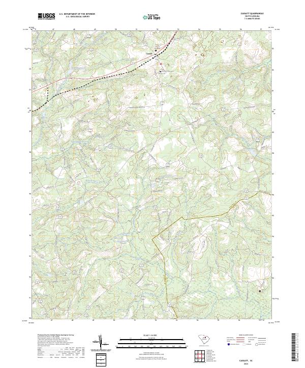
2024 Cassatt
Kershaw County, SC
2024 Elgin
Kershaw County, SC
2024 Liberty Hill
Kershaw County, SC
2024 Mount Pisgah
Kershaw County, SC
2024 Rabon Crossroads
Kershaw County, SC
2024 Westville
Kershaw County, SC
2024 White Oak Creek
Kershaw County, SC