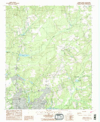
1988 Map of Camden North
USGS Topo · Published 1988About this map
Camden and its northern surroundings appear here during the late 1980s, revealing a landscape defined by industrial water features and suburban growth. The presence of several significant impoundments, including Vaughns Mill Pond, Adams Mill Pond, and Hermitage Mill Pond, points to the region's historic reliance on water power and mill sites along the Big Pine Tree Creek and Little Pine Tree Creek systems. These drainages converge toward the city, where newer developments like Du Bose Park sit near the urban edge.
Find a feature on this map
20 named features on this map. Tap any name to fly to it.
Don’t see what you’re looking for? This feature index may not catch every label — zoom into the map to look around manually.
Map Details
Editions of this 1988 Camden North Map
2 editions found
Other maps of this area

1935 · Camden
USGS Topo · 1:48,000

1938 · Camden
USGS Topo · 1:62,500

1938 · Hagood
USGS Topo · 1:62,500

1941 · Spartanburg
USGS Topo · 1:250,000

1942 · Camden
USGS Topo · 1:125,000

1953 · Camden South
USGS Topo · 1:24,000

1953 · Lugoff
USGS Topo · 1:24,000

1953 · Spartanburg
USGS Topo · 1:250,000

1957 · Ashwood
USGS Topo · 1:62,500

1960 · Spartanburg
USGS Topo · 1:250,000