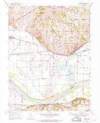
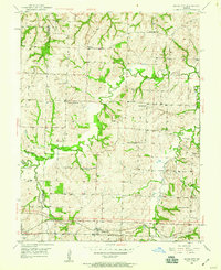
1950 Map of Camden
USGS Topo · Published 1969About this map
The Missouri River forms the southern boundary of this 1950s landscape, shaping the development of river-and-rail towns like Camden, Napoleon, and Waterloo. The northern heights are defined by a network of family-named landmarks and rural institutions, including Brasher Cem, Lillard Sch, and New Hope Ch, reflecting the deep-rooted agricultural community before modern consolidation.
Find a feature on this map
43 named features on this map. Tap any name to fly to it.
Don’t see what you’re looking for? This feature index may not catch every label — zoom into the map to look around manually.
Map Details
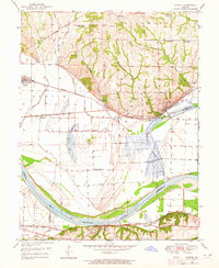
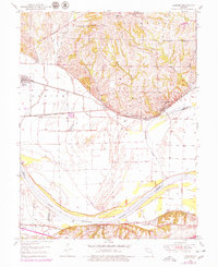
Editions of this 1950 Camden Map
4 editions found
Other maps of this area

1889 · Lexington
USGS Topo · 1:125,000

1894 · Independence
USGS Topo · 1:125,000

1934 · Oak Grove
USGS Topo · 1:24,000

1935 · Buckner
USGS Topo · 1:24,000

1949 · Lexington West
USGS Topo · 1:24,000

1949 · Odessa North
USGS Topo · 1:24,000

1950 · Kansas City
USGS Topo · 1:250,000

1950 · Odessa North
USGS Topo · 1:24,000
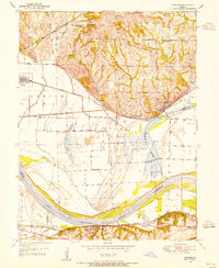
1950 · Camden
USGS Topo · 1:24,000
1950 · Bates City
USGS Topo · 1:24,000