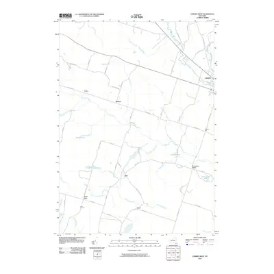
2010 Map of Camden West
USGS Topo · Published 2010About this map
Hillsboro and the western edge of Camden anchor this rural Oneida County landscape, where the headwaters of the West Branch Fish Creek and Mad River converge. The topography is defined by the winding course of the Little River and its various branches, creating a network of wetlands and small ponds like Gorton Pond and Bullhead Pond. This area is characterized by small, dispersed rural settlements and a dense grid of country roads that reflect long-established farming and residential patterns.
Find a feature on this map
62 named features on this map. Tap any name to fly to it.
Don’t see what you’re looking for? This feature index may not catch every label — zoom into the map to look around manually.
Map Details
Editions of this 2010 Camden West Map
This is the sole edition of this map. No revisions or reprints were ever made.
Other maps of this area

1895 · Chittenango
USGS Topo · 1:62,500

1895 · Oneida
USGS Topo · 1:62,500

1898 · Oneida
USGS Topo · 1:62,500

1898 · Chittenango
USGS Topo · 1:62,500

1902 · Chittenango
USGS Topo · 1:62,500

1902 · Oneida
USGS Topo · 1:62,500

1905 · Taberg
USGS Topo · 1:62,500

1906 · Kasoag
USGS Topo · 1:62,500

1939 · Oneida
USGS Topo · 1:62,500

1941 · Cleveland
USGS Topo · 1:24,000