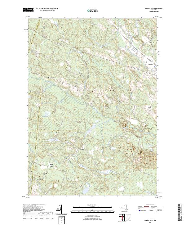
2023 Map of Camden West
USGS Topo · Published 2023About this map
Camden sits at the eastern edge of this landscape where the Mad River and East Branch Fish Creek converge, anchoring a region defined by an intricate network of waterways and small rural settlements. Moving west, the terrain transitions into a mosaic of wetlands and small ponds, including Bullhead Pond and Starkweather Pond, interspersed with the historic hamlets of Hillsboro and Elpis. The surveyor's work captures the persistent rural character of the Oneida County and Oswego County border, where family-named landmarks like Preston Hill rise above the drainage basins of the West Branch Little River and South Branch Little River. Local history is preserved in sites such as Temple Cem and Lynch Cem, which are tucked away along the secondary roads like Maple Flats Rd and N Hillsboro Rd that lace together the agricultural and forested tracts of the town of Florence.
Find a feature on this map
70 named features on this map. Tap any name to fly to it.
Don’t see what you’re looking for? This feature index may not catch every label — zoom into the map to look around manually.
Map Details
Editions of this 2023 Camden West Map
This is the sole edition of this map. No revisions or reprints were ever made.
Other maps of this area

1895 · Chittenango
USGS Topo · 1:62,500

1895 · Oneida
USGS Topo · 1:62,500

1898 · Oneida
USGS Topo · 1:62,500

1898 · Chittenango
USGS Topo · 1:62,500

1902 · Chittenango
USGS Topo · 1:62,500

1902 · Oneida
USGS Topo · 1:62,500

1905 · Taberg
USGS Topo · 1:62,500

1906 · Kasoag
USGS Topo · 1:62,500

1939 · Oneida
USGS Topo · 1:62,500

1941 · Cleveland
USGS Topo · 1:24,000