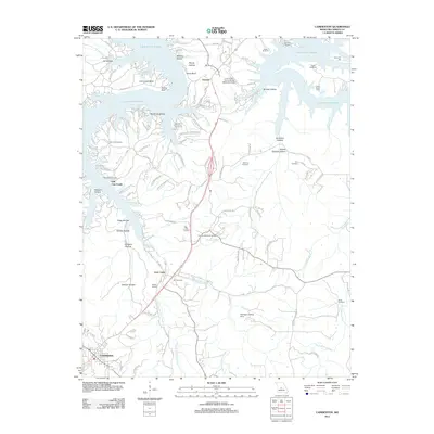
2011 Map of Camdenton
USGS Topo · Published 2011About this map
Lake of the Ozarks dominates the northern reaches of this landscape, its sprawling fingers creating a series of intricate coves and points like Crabtree Cove and Shepherd Cove. The topography is defined by deeply carved hollows such as Wildcat Hollow and Possum Hollow, which transition into the more developed areas of Linn Creek and Camdenton to the south.
Find a feature on this map
126 named features on this map. Tap any name to fly to it.
Don’t see what you’re looking for? This feature index may not catch every label — zoom into the map to look around manually.
Map Details
Editions of this 2011 Camdenton Map
This is the sole edition of this map. No revisions or reprints were ever made.
Other maps of this area

1888 · Versailles
USGS Topo · 1:125,000

1893 · Versailles
USGS Topo · 1:125,000

1932 · Versailles No 4
USGS Topo · 1:48,000

1933 · Stoutland
USGS Topo · 1:62,500

1934 · Macks Creek
USGS Topo · 1:48,000

1934 · Camdenton
USGS Topo · 1:24,000

1934 · Purvis
USGS Topo · 1:24,000

1934 · Toronto
USGS Topo · 1:24,000

1934 · Lake Ozark
USGS Topo · 1:24,000

1934 · Bagnell
USGS Topo · 1:24,000