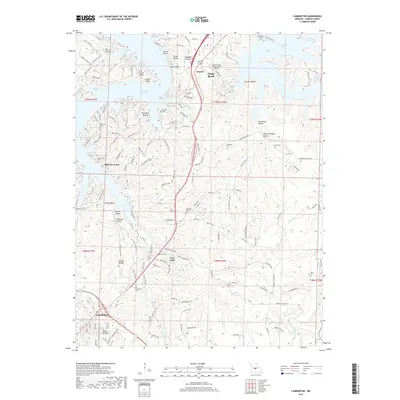
2017 Map of Camdenton
USGS Topo · Published 2017About this map
Camdenton and the surrounding Camden County landscape are defined by the intricate shoreline of the Lake of the Ozarks, where numerous coves and hollows reach into the uplands. The map illustrates a historical shift in the region's geography, showing the relocation from Old Linn Creek toward the established center of Linn Creek and the southern hub of Camdenton. The presence of the College of the Ozarks and the Grand Glaize Osage Beach Airport indicates the area's development as a regional destination and education center. For genealogists, the map is a dense record of family history, naming several cemeteries including Old Erie Cem, Williams Cem, and Percival Memorial Cem. The terrain is deeply dissected by named drainage systems like the N Fork Linn Cr and Honey Run, which create a complex network of bluffs such as Lyons Bluff and Boone Bluff.
Find a feature on this map
174 named features on this map. Tap any name to fly to it.
Don’t see what you’re looking for? This feature index may not catch every label — zoom into the map to look around manually.
Map Details
Editions of this 2017 Camdenton Map
This is the sole edition of this map. No revisions or reprints were ever made.
Other maps of this area

1888 · Versailles
USGS Topo · 1:125,000

1893 · Versailles
USGS Topo · 1:125,000

1932 · Versailles No 4
USGS Topo · 1:48,000

1933 · Stoutland
USGS Topo · 1:62,500

1934 · Macks Creek
USGS Topo · 1:48,000

1934 · Camdenton
USGS Topo · 1:24,000

1934 · Purvis
USGS Topo · 1:24,000

1934 · Toronto
USGS Topo · 1:24,000

1934 · Lake Ozark
USGS Topo · 1:24,000

1934 · Bagnell
USGS Topo · 1:24,000