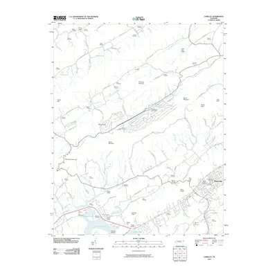
2010 Map of Camelot
USGS Topo · Published 2010About this map
Rogersville serves as the focal point of this Hawkins County region, where the historical settlement pattern follows the intricate valleys between Stone Mountain and Doubling Mountain. The landscape is defined by the significant waters of Cherokee Lake to the south and the winding course of Little Poor Valley Creek. A distinct industrial and institutional footprint is visible at Pressmens Home Lake, supported by the Pressmens Home Dam. Genealogists will find a dense concentration of family burial sites throughout the terrain, including Crockett Cemetery, McCarty Cemetery, and Lype Cemetery. The transition from the rural ridges to the more developed corridors near Marble Hall highlights the region's enduring mix of small-scale agriculture and early 21st-century infrastructure, while Kyle Quarry indicates the local importance of mineral extraction among the knobs and gaps.
Find a feature on this map
112 named features on this map. Tap any name to fly to it.
Don’t see what you’re looking for? This feature index may not catch every label — zoom into the map to look around manually.
Map Details
Editions of this 2010 Camelot Map
This is the sole edition of this map. No revisions or reprints were ever made.
Other maps of this area

1883 · Morristown
USGS Topo · 1:125,000

1887 · Jonesville
USGS Topo · 1:125,000

1891 · Jonesville
USGS Topo · 1:125,000

1892 · Greeneville
USGS Topo · 1:125,000

1893 · Morristown
USGS Topo · 1:125,000

1894 · Estillville
USGS Topo · 1:125,000

1895 · Morristown
USGS Topo · 1:125,000

1896 · Greeneville
USGS Topo · 1:125,000

1904 · Greeneville
USGS Topo · 1:125,000

1935 · Surgoinsville
USGS Topo · 1:48,000