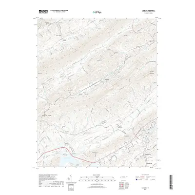
2019 Map of Camelot
USGS Topo · Published 2019About this map
Cherokee Lake defines the southern reach of this Hawkins County terrain, where the waters of the Holston River basin meet the rising ridges of the Appalachians. The landscape is characterized by narrow, parallel valleys and prominent heights like Clinch Mountain and Doubling Mtn, which separate the drainage of Poor Valley from the Clinch Valley to the north. Small agricultural and residential clusters such as Shiloh, Choptack, and Henardtown are scattered along the valley floors, often centered around family cemeteries and local landmarks. To the east, the map features Devils Nose and the secluded Devils Nose Valley. Notable human footprints include the Kay Airport near the center of the quadrangle and the historical industrial site at Austins Mill near the lake's edge, reflecting the region's mix of rural tradition and twentieth-century infrastructure.
Find a feature on this map
166 named features on this map. Tap any name to fly to it.
Don’t see what you’re looking for? This feature index may not catch every label — zoom into the map to look around manually.
Map Details
Editions of this 2019 Camelot Map
This is the sole edition of this map. No revisions or reprints were ever made.
Other maps of this area

1883 · Morristown
USGS Topo · 1:125,000

1887 · Jonesville
USGS Topo · 1:125,000

1891 · Jonesville
USGS Topo · 1:125,000

1892 · Greeneville
USGS Topo · 1:125,000

1893 · Morristown
USGS Topo · 1:125,000

1894 · Estillville
USGS Topo · 1:125,000

1895 · Morristown
USGS Topo · 1:125,000

1896 · Greeneville
USGS Topo · 1:125,000

1904 · Greeneville
USGS Topo · 1:125,000

1935 · Surgoinsville
USGS Topo · 1:48,000