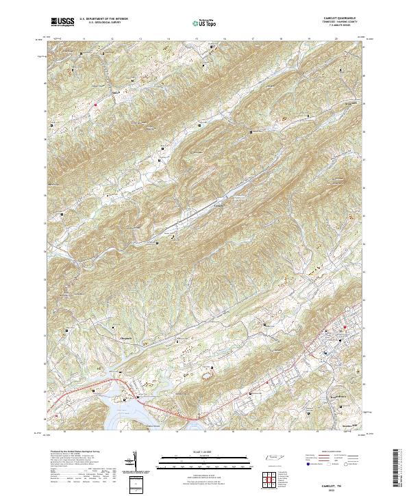
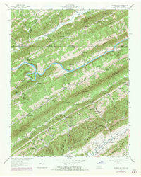
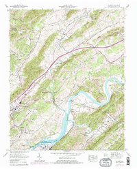
2022 Map of Camelot
USGS Topo · Published 2022About this map
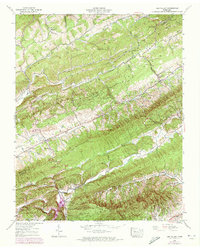
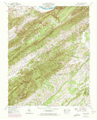
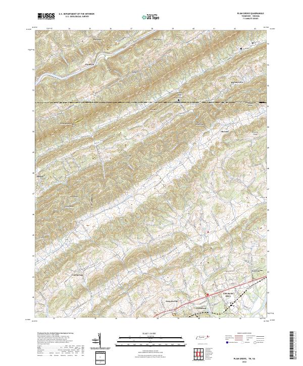
Pressmens Home serves as a central landmark in this portion of Hawkins County, situated in the valley between Clinch Mountain and Doubling Mtn. The landscape is defined by the parallel ridges of Copper Ridge and Pine Mtn, which frame the agricultural and residential corridors of Little Poor Valley and Devils Nose Valley. In the south, the terrain descends toward the waters of Cherokee Lake, where Shanks Shoals remains a notable geographic marker. This modern survey illustrates a rural Tennessee landscape where historic community centers like Shiloh and Choptack persist alongside civic hubs, including the Hawkins County Courthouse. Local heritage is preserved in sites such as Shephards Chapel and Austins Mill, reflecting a settlement pattern deeply influenced by the many creeks, such as Caney Creek and Poor Valley Cr, that navigate the gaps and hollows.
Find a feature on this map
149 named features on this map. Tap any name to fly to it.
Don’t see what you’re looking for? This feature index may not catch every label — zoom into the map to look around manually.
Map Details
Editions of this 2022 Camelot Map
This is the sole edition of this map. No revisions or reprints were ever made.
Historical Maps of Altonville Through Time
28 maps found
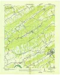
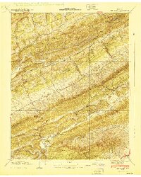
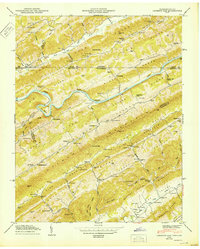
1935 Burem
Hawkins County, TN
1935 Lee Valley
Hawkins County, TN

1935 Looneys Gap
Hawkins County, TN

1935 Lovelace
Hawkins County, TN
1935 Plum Grove
Hawkins County, TN
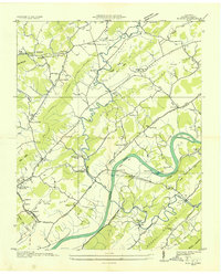
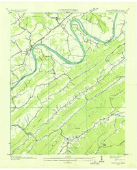
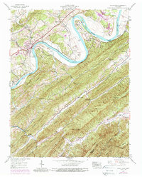
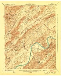
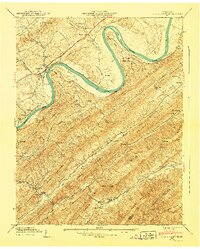
1935 Pressmens Home
Hawkins County, TN
1935 Stonypoint
Hawkins County, TN
1939 Burem
Hawkins County, TN
1939 Lee Valley
Hawkins County, TN
1939 Lovelace
Hawkins County, TN
1939 Plum Grove
Hawkins County, TN
1939 Stony Point
Hawkins County, TN
1940 Burem
Hawkins County, TN
1940 Lee Valley
Hawkins County, TN
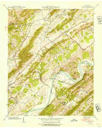
1940 Pressmens Home
Hawkins County, TN
1940 Stony Point
Hawkins County, TN
1947 Looneys Gap
Hawkins County, TN
1950 Looneys Gap
Hawkins County, TN
1961 Burem
Hawkins County, TN
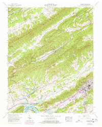
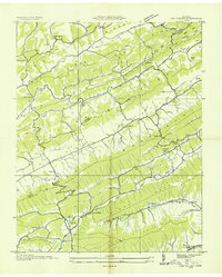
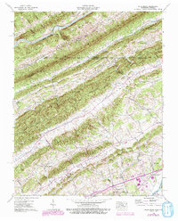
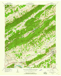
1961 Camelot
Hawkins County, TN
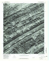
1976 Looneys Gap
Hawkins County, TN
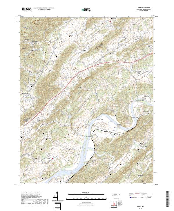
2022 Burem
Hawkins County, TN
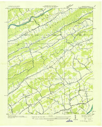
2022 Camelot
Hawkins County, TN
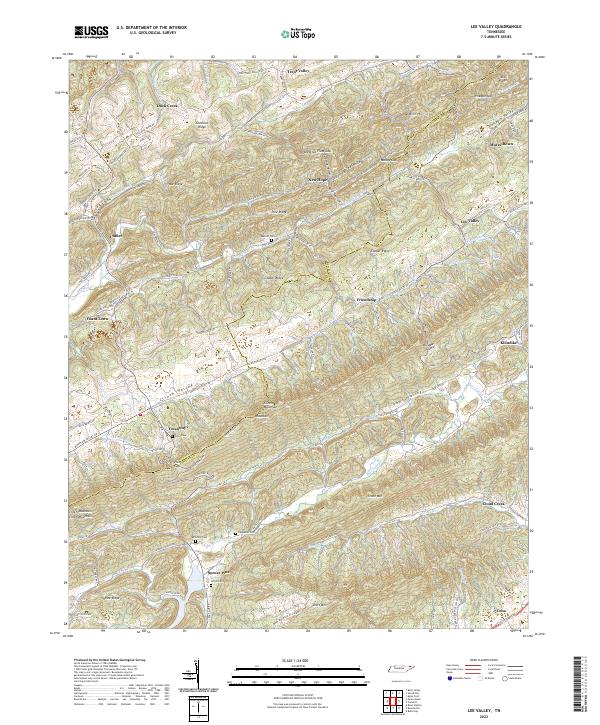
2022 Lee Valley
Hawkins County, TN
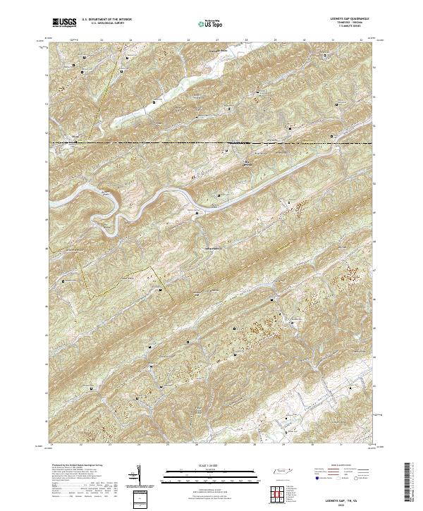
2022 Looneys Gap
Hawkins County, TN
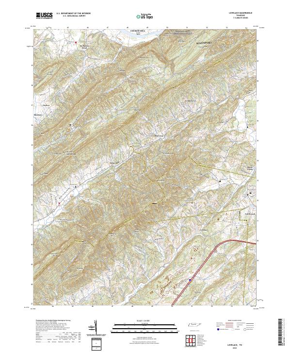
2022 Lovelace
Hawkins County, TN
2022 Plum Grove
Hawkins County, TN
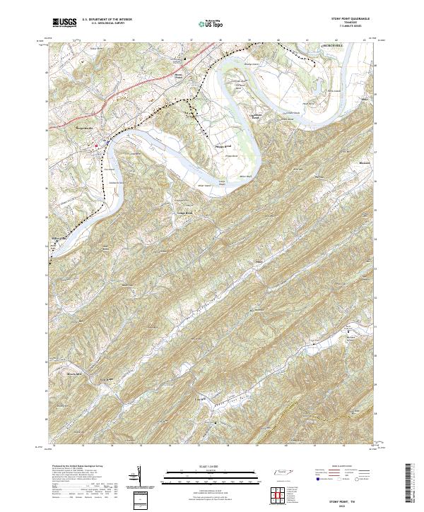
2022 Stony Point
Hawkins County, TN