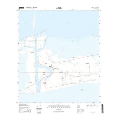
1982 Map of Cameron
USGS Topo · Published 1982About this map
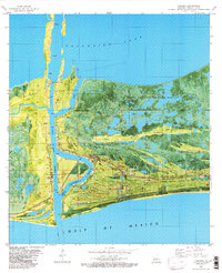
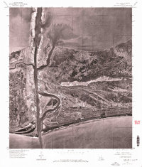
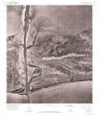
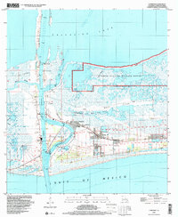
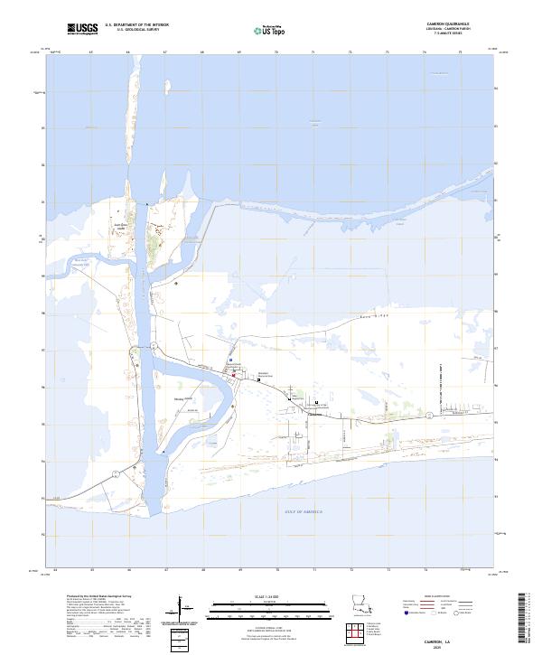
The coastal landscape of Cameron Parish is defined here by the confluence of industry and nature where the Calcasieu Ship Channel meets the Gulf of Mexico. This 1982 map details the complex hydraulic environment of the Calcasieu Pass, illustrating how human engineering has shaped the marshes around St Johns Island and Monkey Island to support maritime traffic. The transition from the massive Calcasieu Lake into the Gulf is mediated by a series of floodgates, gaging stations, and the established Cameron Oil and Gas Field.
Find a feature on this map
25 named features on this map. Tap any name to fly to it.
Don’t see what you’re looking for? This feature index may not catch every label — zoom into the map to look around manually.
Map Details
Editions of this 1982 Cameron Map
This is the sole edition of this map. No revisions or reprints were ever made.
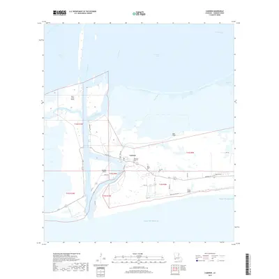
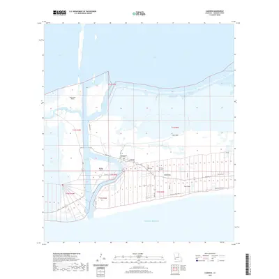
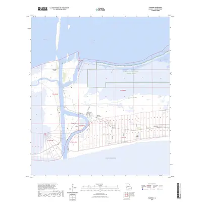
Historical Maps of Cameron Through Time
13 maps found
1934 Cameron
Cameron Parish, LA
1935 Cameron
Cameron Parish, LA
1955 Cameron
Cameron Parish, LA
1960 Cameron
Cameron Parish, LA
1975 Cameron
Cameron Parish, LA
1982 Cameron
Cameron Parish, LA
1998 Cameron
Cameron Parish, LA
2012 Cameron
Cameron Parish, LA
2015 Cameron
Cameron Parish, LA
2018 Cameron
Cameron Parish, LA
2020 Cameron
Cameron Parish, LA
2024 Cameron
Cameron Parish, LA
2025 Cameron
Cameron Parish, LA