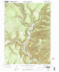
1945 Map of Cameron
USGS Topo · Published 1972About this map
Driftwood Branch Sinnemahoning Creek carves a deep, sinuous path through the center of this Cameron County landscape, dictating the placement of early transportation and settlements. The small communities of Cameron and Sterling Run are situated along the valley floor, where the Penn Central railroad follows the water's edge. This 1945 survey, updated with 1971 aerial data, reveals a topography defined by steep hollows such as Stillhouse Run and Tannery Hollow Run, names that hint at the region's industrial past and local resource extraction.
Find a feature on this map
44 named features on this map. Tap any name to fly to it.
Don’t see what you’re looking for? This feature index may not catch every label — zoom into the map to look around manually.
Map Details
Editions of this 1945 Cameron Map
3 editions found
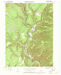
Other maps of this area

1941 · Benezette
USGS Topo · 1:62,500

1943 · Benezette
USGS Topo · 1:62,500

1945 · Driftwood
USGS Topo · 1:48,000

1945 · First Fork
USGS Topo · 1:24,000

1945 · Sinnemahoning
USGS Topo · 1:24,000

1945 · Driftwood
USGS Topo · 1:24,000

1945 · Cameron
USGS Topo · 1:24,000

1947 · Cameron
USGS Topo · 1:24,000

1947 · First Fork
USGS Topo · 1:24,000

1947 · Sinnemahoning
USGS Topo · 1:24,000
Featured Places
- Cameron, Lumber Township
- Lumber Township, PA
- Shippen Township, PA
- Portage Township, PA
- Gibson Township, PA