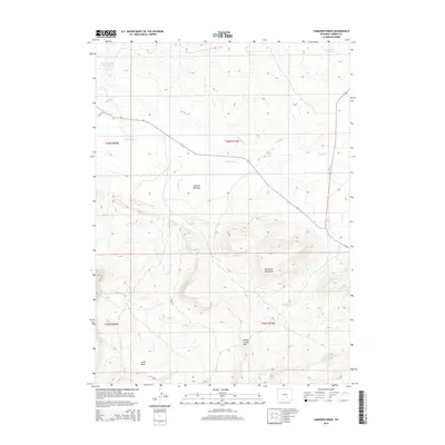
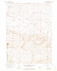
2015 Map of Cameron Creek
USGS Topo · Published 2015About this map
The Freezeout Mountains dominate the southern half of this Wyoming landscape, rising sharply above the complex hydrology of Carbon County. Water management is a central theme here, evidenced by the presence of the Shirley Basin Reservoir in the northwest and Antelope Reservoir in the northeast corner. These reservoirs, along with features like Red Lake and Dyer Spring, indicate the essential role of water storage in this high-altitude environment.
Find a feature on this map
18 named features on this map. Tap any name to fly to it.
Don’t see what you’re looking for? This feature index may not catch every label — zoom into the map to look around manually.
Map Details
Editions of this 2015 Cameron Creek Map
This is the sole edition of this map. No revisions or reprints were ever made.
Other maps of this area

1955 · Casper
USGS Topo · 1:250,000

1958 · Casper
USGS Topo · 1:250,000

1959 · Moss Agate Reservoir
USGS Topo · 1:24,000

1960 · Wild Irish Reservoir
USGS Topo · 1:24,000

1960 · Measel Spring Reservoir
USGS Topo · 1:24,000
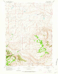
1961 · Pine Hill
USGS Topo · 1:24,000

1961 · T B Ranch
USGS Topo · 1:24,000
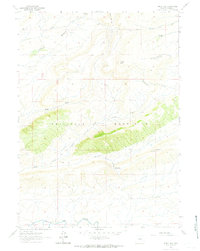
1961 · Windy Hill
USGS Topo · 1:24,000
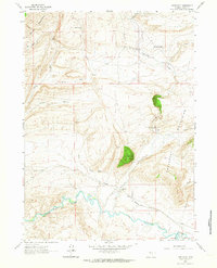
1961 · Difficulty
USGS Topo · 1:24,000
1961 · Cameron Creek
USGS Topo · 1:24,000