
1960 Map of Measel Spring Reservoir
USGS Topo · Published 1964About this map
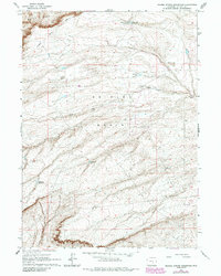
Shirley Basin and the southern reaches of Bates Hole dominate this mid-century topographic record of Carbon County. The landscape is characterized by its high-altitude water management, featuring several isolated storage points such as Sullivan Reservoir, Section 20 Reservoir, and Junction Res. These man-made features, combined with the presence of Measel Spring Reservoir in the north, suggest a terrain focused on seasonal water capture for livestock or industrial use in a characteristically arid environment. The topography reveals the sharp transition from the flat basin floor to the elevated contours of Shirley Ridge. Drainage patterns are clearly marked by the winding course of Sand Creek, providing a detailed look at the hydrology of the Wyoming interior before significant modern development altered these cattle-range lands.
Find a feature on this map
10 named features on this map. Tap any name to fly to it.
Don’t see what you’re looking for? This feature index may not catch every label — zoom into the map to look around manually.
Map Details
Editions of this 1960 Measel Spring Reservoir Map
2 editions found
Other maps of this area

1955 · Casper
USGS Topo · 1:250,000

1958 · Casper
USGS Topo · 1:250,000

1959 · Moss Agate Reservoir
USGS Topo · 1:24,000

1959 · Bates Creek Reservoir
USGS Topo · 1:24,000

1960 · Wild Irish Reservoir
USGS Topo · 1:24,000

1960 · Horse Peak
USGS Topo · 1:24,000

1960 · Mud Springs
USGS Topo · 1:24,000
1961 · Pine Hill
USGS Topo · 1:24,000
1961 · Cameron Creek
USGS Topo · 1:24,000
1961 · Walker Draw NW
USGS Topo · 1:24,000