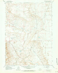
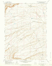
1961 Map of Walker Draw NW
USGS Topo · Published 1964About this map
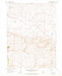
The Freezeout Mountains dominate the southwestern corner of this Carbon County landscape, where the terrain transitions into a complex network of ephemeral drainages and irrigation improvements. Ranching infrastructure is central to the area's layout in the early 1960s, evidenced by a Shearing Pen and the Sullivan Landing Area. Water management in this high-plains environment is represented by the Marolf and Walker Ditch No 1, which diverted flows from Muddy Creek to support local agricultural efforts. Transportation and movement through this part of Wyoming are marked by the Old Casper Medicine Bow Road, a corridor that follows the natural contours of the land between Walker Draw and Antelope Draw. This survey provides a clear view of a rural homestead identified simply as House, located near the intersection of various township boundaries and drainage systems.
Find a feature on this map
10 named features on this map. Tap any name to fly to it.
Don’t see what you’re looking for? This feature index may not catch every label — zoom into the map to look around manually.
Map Details
Editions of this 1961 Walker Draw NW Map
2 editions found
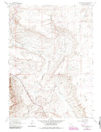
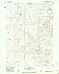
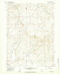
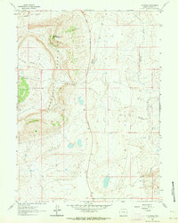
Other maps of this area

1955 · Casper
USGS Topo · 1:250,000

1958 · Casper
USGS Topo · 1:250,000
1959 · Moss Agate Reservoir
USGS Topo · 1:24,000
1959 · Chalk Hills
USGS Topo · 1:24,000
1960 · Measel Spring Reservoir
USGS Topo · 1:24,000

1961 · Walker Draw SE
USGS Topo · 1:24,000
1961 · T B Ranch
USGS Topo · 1:24,000
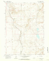
1961 · Big Charlie Lakes
USGS Topo · 1:24,000
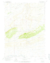
1961 · Windy Hill
USGS Topo · 1:24,000
1961 · Cameron Creek
USGS Topo · 1:24,000