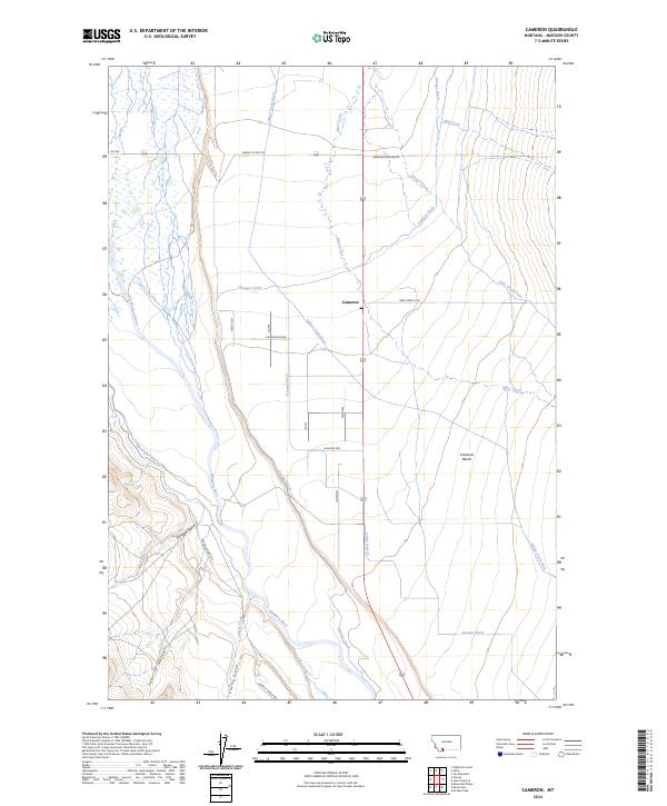
2024 Map of Cameron
USGS Topo · Published 2024About this map
The Cameron settlement serves as the central hub of this Madison County landscape, where the high terrain of Cameron Bench overlooks a complex network of agricultural irrigation. The Madison River winds through the western portion of the map, fed by a series of gulches including Morgan Gulch, Sunrise Gulch, and Cherry Gulch. This 2024 survey illustrates the critical role of water management in the region, with extensive infrastructure such as the Indian Creek Ditch, Granger Ditch, and Kremer Ditch carving through the valley floor. Rural land use is further evidenced by family-named routes and specialized labels like Holding Pen and Staggers. Local history researchers will find the location of the Po in Cameron and the path of the Gravelly Range Rd essential for mapping the modern layout of this ranching and river corridor.
Find a feature on this map
30 named features on this map. Tap any name to fly to it.
Don’t see what you’re looking for? This feature index may not catch every label — zoom into the map to look around manually.
Map Details
Editions of this 2024 Cameron Map
This is the sole edition of this map. No revisions or reprints were ever made.
Other maps of this area

1888 · Three Forks
USGS Topo · 1:250,000

1894 · Three Forks
USGS Topo · 1:250,000

1895 · Three Forks
USGS Topo · 1:250,000

1947 · Bozeman
USGS Topo · 1:250,000

1948 · Bozeman
USGS Topo · 1:250,000

1949 · Varney
USGS Topo · 1:62,500

1949 · Ennis
USGS Topo · 1:62,500

1950 · Cameron
USGS Topo · 1:62,500

1950 · Virginia City
USGS Topo · 1:62,500

1955 · Bozeman
USGS Topo · 1:250,000