
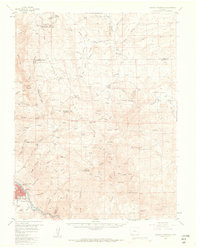
1956 Map of Cameron Mountain
USGS Topo · Published 1959About this map
Salida serves as the focal point in the southwestern corner of this survey, where the Denver And Rio Grande Western railroad tracks follow the course of the Arkansas River. The landscape transitions from the river valley into the high elevations of the San Isabel National Forest, marked by a history of resource extraction. Numerous industrial sites are scattered throughout the hills, including the Golden Wonder Mine, the Federal Quarry, and a prominent Marble Quarry near Manoa Springs.
Find a feature on this map
85 named features on this map. Tap any name to fly to it.
Don’t see what you’re looking for? This feature index may not catch every label — zoom into the map to look around manually.
Map Details
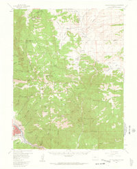
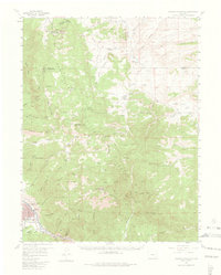
Editions of this 1956 Cameron Mountain Map
4 editions found
Other maps of this area

1954 · Pueblo
USGS Topo · 1:250,000

1955 · Buena Vista
USGS Topo · 1:62,500

1956 · Poncha Springs
USGS Topo · 1:62,500

1956 · Montrose
USGS Topo · 1:250,000

1957 · Pueblo
USGS Topo · 1:250,000

1958 · Pueblo
USGS Topo · 1:250,000

1959 · Montrose
USGS Topo · 1:250,000

1959 · Bonanza
USGS Topo · 1:62,500

1959 · Antero Reservoir
USGS Topo · 1:62,500

1959 · Black Mountain
USGS Topo · 1:62,500