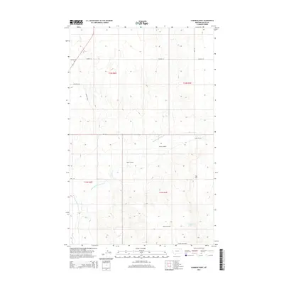
2014 Map of Cameron Point
USGS Topo · Published 2014About this map
Cameron Point rises as a prominent landmark in this segment of Valley County, anchoring a landscape defined by the drainage systems of the Middle Fork Porcupine Cr and W Fork Porcupine Cr. The terrain is characterized by deep incisions like Snow Coulee and notable relief such as the Calderwood Hills to the south. This area demonstrates a dispersed rural infrastructure where long, straight section-line roads like Fuhrman Rd, Fauth Rd, and Eide Rd provide the primary access through the high plains. A few localized features, including Calderwood Spring and the geographic gap known as The Pass, suggest the importance of water sources and natural transit corridors in this open grazing land. The map provides a clear view of the Public Land Survey System township and range grid, illustrating the systematic division of the Montana landscape.
Find a feature on this map
18 named features on this map. Tap any name to fly to it.
Don’t see what you’re looking for? This feature index may not catch every label — zoom into the map to look around manually.
Map Details
Editions of this 2014 Cameron Point Map
This is the sole edition of this map. No revisions or reprints were ever made.
Other maps of this area

1918 · Porcupine Valley
USGS Topo · 1:62,500

1919 · Boundary
USGS Topo · 1:125,000

1943 · Glasgow
USGS Topo · 1:125,000

1954 · Glasgow
USGS Topo · 1:250,000

1957 · Glasgow
USGS Topo · 1:250,000

1958 · Glasgow
USGS Topo · 1:250,000

1969 · Chapman Coulee NE
USGS Topo · 1:24,000

1973 · Baylor SE
USGS Topo · 1:24,000

1973 · Baylor NE
USGS Topo · 1:24,000

1973 · Baylor
USGS Topo · 1:24,000