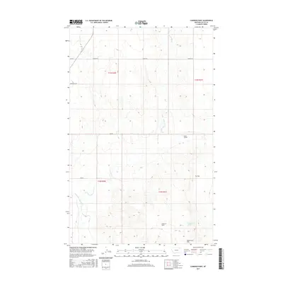
2017 Map of Cameron Point
USGS Topo · Published 2017About this map
Cameron Point stands as a prominent topographical landmark in this northeastern Montana landscape, surveyed in 2017. The terrain is defined by the drainage systems of Porcupine Cr, specifically the Middle Fork Porcupine Cr and the W Fork Porcupine Cr, which carve through the open country. To the southeast, the Calderwood Hills rise near Calderwood Spring, indicating a pocket of reliable water in an otherwise semi-arid environment.
Find a feature on this map
16 named features on this map. Tap any name to fly to it.
Don’t see what you’re looking for? This feature index may not catch every label — zoom into the map to look around manually.
Map Details
Editions of this 2017 Cameron Point Map
This is the sole edition of this map. No revisions or reprints were ever made.
Other maps of this area

1918 · Porcupine Valley
USGS Topo · 1:62,500

1919 · Boundary
USGS Topo · 1:125,000

1943 · Glasgow
USGS Topo · 1:125,000

1954 · Glasgow
USGS Topo · 1:250,000

1957 · Glasgow
USGS Topo · 1:250,000

1958 · Glasgow
USGS Topo · 1:250,000

1969 · Chapman Coulee NE
USGS Topo · 1:24,000

1973 · Baylor SE
USGS Topo · 1:24,000

1973 · Baylor NE
USGS Topo · 1:24,000

1973 · Baylor
USGS Topo · 1:24,000