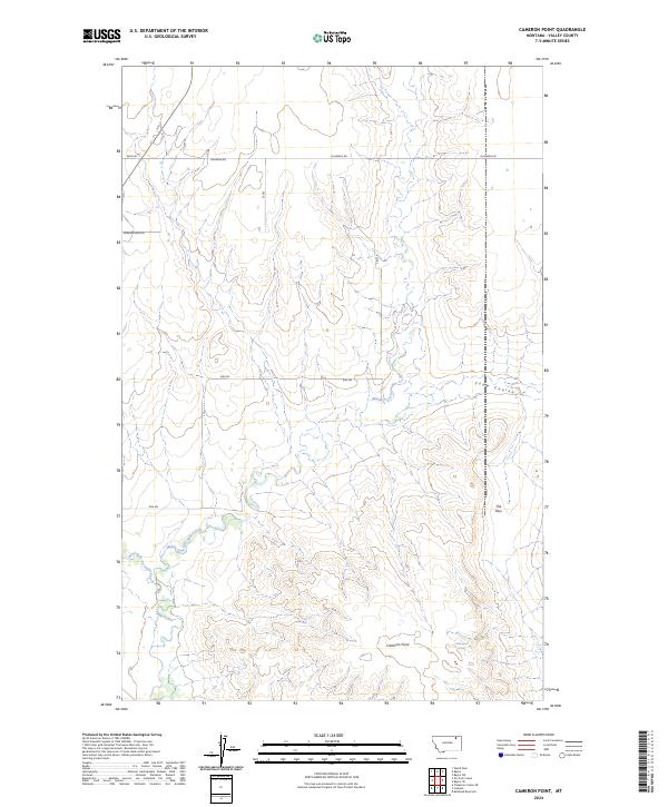
2024 Map of Cameron Point
USGS Topo · Published 2024About this map
Middle Fork Porcupine Creek and its tributary, West Fork Porcupine Creek, carve through this section of Valley County, defining the drainage patterns of a high prairie landscape. The terrain is marked by significant topographical shifts at Cameron Point and the geological formation known as The Pass, which likely served as a natural corridor through the breaks. While the area remains largely undeveloped, a network of local routes such as Fuhrman Rd and Eide Rd provide access to remote ranching land and water sources like Calderwood Spring. The map clearly delineates the township and range boundaries of t33n r40e and t33n r41e, reflecting the enduring Public Land Survey System that governs this part of Montana.
Find a feature on this map
14 named features on this map. Tap any name to fly to it.
Don’t see what you’re looking for? This feature index may not catch every label — zoom into the map to look around manually.
Map Details
Editions of this 2024 Cameron Point Map
This is the sole edition of this map. No revisions or reprints were ever made.
Other maps of this area

1918 · Porcupine Valley
USGS Topo · 1:62,500

1919 · Boundary
USGS Topo · 1:125,000

1943 · Glasgow
USGS Topo · 1:125,000

1954 · Glasgow
USGS Topo · 1:250,000

1957 · Glasgow
USGS Topo · 1:250,000

1958 · Glasgow
USGS Topo · 1:250,000

1969 · Chapman Coulee NE
USGS Topo · 1:24,000

1973 · Baylor SE
USGS Topo · 1:24,000

1973 · Baylor NE
USGS Topo · 1:24,000

1973 · Baylor
USGS Topo · 1:24,000