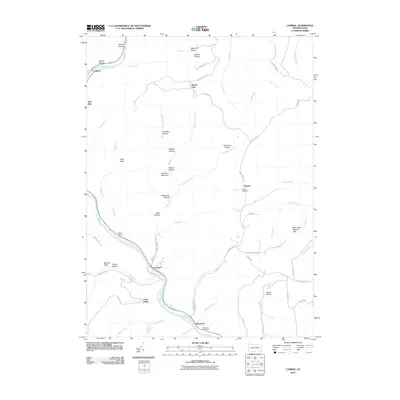
2010 Map of Cammal
USGS Topo · Published 2010About this map
Pine Creek carves a deep valley through this portion of Pennsylvania, shaping a landscape defined by narrow hollows and high vistas. The settlement of Cammal serves as a central point along the creek, while smaller hamlets like Okome, Bluestone, and Beulah Land are scattered across the upland plateaus and secondary drainages. This 2010 survey highlights a region dedicated to conservation and remote recreation, marked by the Wolf Run Wild Area and the Bark Cabin Natural Area. Transportation history is evident along the creek bed at Ross Siding, a remnant of the rail infrastructure that once serviced the timber and mining interests of the canyon. Genealogists can find specific burial sites at the Okome Cemetery and Bluestone Cemetery, which remain as anchored points of local history. High-altitude perspectives such as Lebo Vista and Big Trail Vista provide sweeping views of the rugged drainages of Trout Run and Miller Run.
Find a feature on this map
67 named features on this map. Tap any name to fly to it.
Don’t see what you’re looking for? This feature index may not catch every label — zoom into the map to look around manually.
Map Details
Editions of this 2010 Cammal Map
This is the sole edition of this map. No revisions or reprints were ever made.
Other maps of this area

1935 · Waterville
USGS Topo · 1:24,000

1937 · Waterville
USGS Topo · 1:48,000

1943 · Hyner
USGS Topo · 1:62,500

1943 · Waterville
USGS Topo · 1:62,500

1946 · Antrim
USGS Topo · 1:62,500

1946 · Renovo East
USGS Topo · 1:62,500

1946 · Cedar Run
USGS Topo · 1:24,000

1946 · Slate Run
USGS Topo · 1:24,000

1946 · Glen Union
USGS Topo · 1:24,000

1946 · Morris
USGS Topo · 1:24,000
Featured Places
- Lebo Vista, McHenry Township
- Hilborn, Brown Township
- Brown Township, PA
- Beulah Land, Brown Township
- McHenry Township, PA