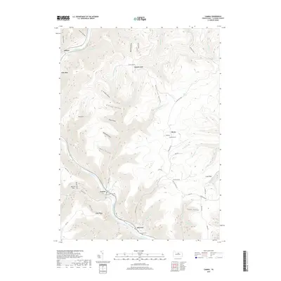
2019 Map of Cammal
USGS Topo · Published 2019About this map
Pine Creek Gorge cuts a deep path through this portion of Lycoming County, creating a landscape defined by sharp elevation changes and numerous tributary runs. The settlement of Cammal serves as a central point along the water, where the Cammal Cem and nearby Lebo Vista offer vantage points over the winding valley. This 2019 survey shows a network of forestry roads and trails, including Old Postman Rd and the Pine Creek Trl, that traverse the high ridges such as Longs Ridge and drop into isolated hollows like Spook Hollow and Peachtree Hollow. North of the gorge, the small communities of Slate Run, Beulah Land, and Okome are connected by narrow mountain routes. The map records several small burial grounds, including Okome Cem and Bluestone Cem, reflecting the generations of families who have inhabited these remote creek-side settlements.
Find a feature on this map
74 named features on this map. Tap any name to fly to it.
Don’t see what you’re looking for? This feature index may not catch every label — zoom into the map to look around manually.
Map Details
Editions of this 2019 Cammal Map
This is the sole edition of this map. No revisions or reprints were ever made.
Other maps of this area

1935 · Waterville
USGS Topo · 1:24,000

1937 · Waterville
USGS Topo · 1:48,000

1943 · Hyner
USGS Topo · 1:62,500

1943 · Waterville
USGS Topo · 1:62,500

1946 · Antrim
USGS Topo · 1:62,500

1946 · Renovo East
USGS Topo · 1:62,500

1946 · Cedar Run
USGS Topo · 1:24,000

1946 · Slate Run
USGS Topo · 1:24,000

1946 · Glen Union
USGS Topo · 1:24,000

1946 · Morris
USGS Topo · 1:24,000
Featured Places
- Lebo Vista, McHenry Township
- Hilborn, Brown Township
- Brown Township, PA
- Beulah Land, Brown Township
- McHenry Township, PA