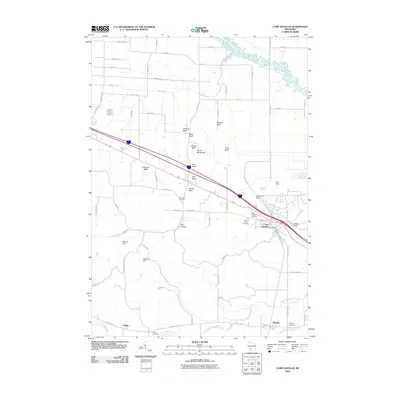
2010 Map of Camp Douglas
USGS Topo · Published 2010About this map
Volk Field and the village of Camp Douglas anchor the central portion of this Monroe County landscape, where the flat plains of the Lemonweir River valley are interrupted by a series of dramatic sandstone formations. These distinctive geological features, including Wildcat Bluff, Bee Bluff, Mill Bluff, and the iconic Devils Monument, rise sharply from the surrounding terrain. To the south, the village of Hustler sits near the Little Lemonweir River and the winding course of Fountain Creek.
Find a feature on this map
74 named features on this map. Tap any name to fly to it.
Don’t see what you’re looking for? This feature index may not catch every label — zoom into the map to look around manually.
Map Details
Editions of this 2010 Camp Douglas Map
This is the sole edition of this map. No revisions or reprints were ever made.
Other maps of this area

1919 · Kendall
USGS Topo · 1:62,500

1921 · Mauston
USGS Topo · 1:62,500

1921 · Kendall
USGS Topo · 1:62,500

1953 · Eau Claire
USGS Topo · 1:250,000

1958 · Eau Claire
USGS Topo · 1:250,000

1958 · Necedah
USGS Topo · 1:48,000

1958 · Wyeville
USGS Topo · 1:48,000

1958 · La Crosse
USGS Topo · 1:250,000

1961 · La Crosse
USGS Topo · 1:250,000

1962 · Kendall
USGS Topo · 1:62,500