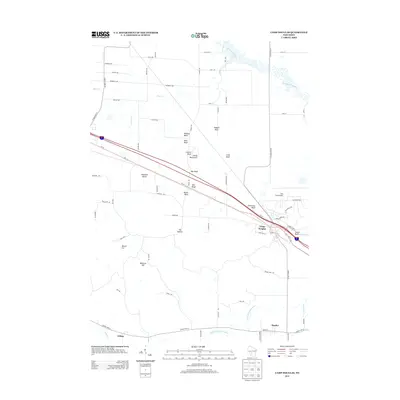
2013 Map of Camp Douglas
USGS Topo · Published 2013About this map
Camp Douglas serves as a central hub in this landscape where the Lemonweir River and Little Lemonweir River converge. The terrain is defined by a series of dramatic sandstone mounds and bluffs that rise sharply from the surrounding plains, including the distinct formations of Devils Monument, Wildcat Bluff, and Bee Bluff. These geological features, alongside Chinaman Bluff and Mill Bluff, create a distinctive horizon for the nearby settlements of Hustler and Clifton.
Find a feature on this map
75 named features on this map. Tap any name to fly to it.
Don’t see what you’re looking for? This feature index may not catch every label — zoom into the map to look around manually.
Map Details
Editions of this 2013 Camp Douglas Map
This is the sole edition of this map. No revisions or reprints were ever made.
Other maps of this area

1919 · Kendall
USGS Topo · 1:62,500

1921 · Mauston
USGS Topo · 1:62,500

1921 · Kendall
USGS Topo · 1:62,500

1953 · Eau Claire
USGS Topo · 1:250,000

1958 · Eau Claire
USGS Topo · 1:250,000

1958 · Necedah
USGS Topo · 1:48,000

1958 · Wyeville
USGS Topo · 1:48,000

1958 · La Crosse
USGS Topo · 1:250,000

1961 · La Crosse
USGS Topo · 1:250,000

1962 · Kendall
USGS Topo · 1:62,500