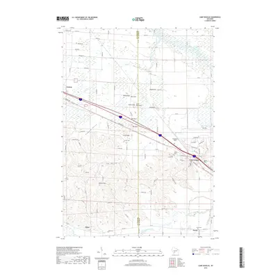
2018 Map of Camp Douglas
USGS Topo · Published 2018About this map
Camp Douglas sits at the base of a series of distinctive sandstone formations, where the northern wetlands of the Bear Creek drainage meet the complex topography of the Driftless Area. This 2018 survey reveals a landscape defined by dramatic bluffs and buttes, including Wildcat Bluff, Devils Monument, and Castle Rock, which rise sharply from the surrounding valleys. The presence of Volk Field underscores the strategic importance of this corridor, which is also a vital transportation artery carrying major highways and rail lines through Oakdale and Hustler. Local history is preserved in several burial grounds, such as Saint James Cem and Sorenson Cem, while the southern portion of the quadrangle follows the winding course of the Little Lemonweir River. The map provides a detailed view of rural land divisions and the network of county roads like Co HWY W and Co HWY A that connect these small Wisconsin communities.
Find a feature on this map
94 named features on this map. Tap any name to fly to it.
Don’t see what you’re looking for? This feature index may not catch every label — zoom into the map to look around manually.
Map Details
Editions of this 2018 Camp Douglas Map
This is the sole edition of this map. No revisions or reprints were ever made.
Other maps of this area

1919 · Kendall
USGS Topo · 1:62,500

1921 · Mauston
USGS Topo · 1:62,500

1921 · Kendall
USGS Topo · 1:62,500

1953 · Eau Claire
USGS Topo · 1:250,000

1958 · Eau Claire
USGS Topo · 1:250,000

1958 · Necedah
USGS Topo · 1:48,000

1958 · Wyeville
USGS Topo · 1:48,000

1958 · La Crosse
USGS Topo · 1:250,000

1961 · La Crosse
USGS Topo · 1:250,000

1962 · Kendall
USGS Topo · 1:62,500