2022 Map of Camp Douglas
USGS Topo · Published 2022About this map
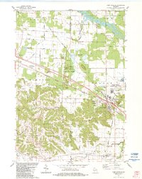
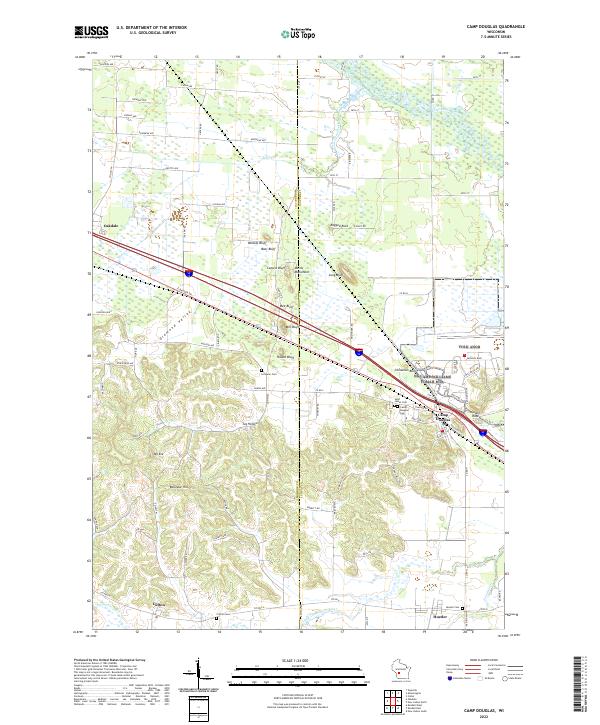
The striking landscape of Camp Douglas is defined by a series of prominent sandstone buttes and mesas that rise abruptly from the surrounding plains. These geological landmarks, including Wildcat Bluff, Bee Bluff, and Castle Rock, create a distinctive topography that dictated the routes of local transportation. The village itself is situated at a historical crossroads, where rail and road corridors navigate around the base of these formations. To the west and south, the terrain transitions into the winding drainage of Tug Hollow and the elevations of Mt Eve and Bellevue Hill.
Find a feature on this map
98 named features on this map. Tap any name to fly to it.
Don’t see what you’re looking for? This feature index may not catch every label — zoom into the map to look around manually.
Map Details
Editions of this 2022 Camp Douglas Map
This is the sole edition of this map. No revisions or reprints were ever made.