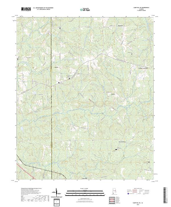
2024 Map of Camp Hill SE
USGS Topo · Published 2024About this map
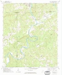
The boundary between Tallapoosa Co Chambers Co runs through a landscape defined by small rural hubs and ancestral burial grounds. This modern topographic view reveals the persistent settlement patterns of eastern Alabama, where locations like Blackman and Kendall Crossroads anchor a network of local roads such as Sandy Creek Rd and Sen Claude Pepper Dr. The area is notably dense with family-named and community cemeteries, including the Dean Cem and Smith - Willoughby Cem, which serve as vital landmarks for genealogists tracing the region's heritage.
Find a feature on this map
79 named features on this map. Tap any name to fly to it.
Don’t see what you’re looking for? This feature index may not catch every label — zoom into the map to look around manually.
Map Details
Editions of this 2024 Camp Hill SE Map
This is the sole edition of this map. No revisions or reprints were ever made.
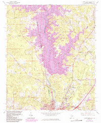
Historical Maps of Judson Through Time
17 maps found
1964 Lanett North
Chambers County, AL
1964 Lanett South
Chambers County, AL
1969 Milltown
Chambers County, AL
1969 Wadley South
Chambers County, AL
1971 Camp Hill SE
Chambers County, AL

1971 Dudleyville
Chambers County, AL
1971 Lafayette
Chambers County, AL
1971 Moorefield
Chambers County, AL
1981 Camp Hill SE
Chambers County, AL
2024 Camp Hill SE
Chambers County, AL
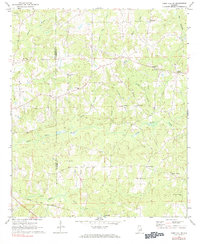
2024 Dudleyville
Chambers County, AL
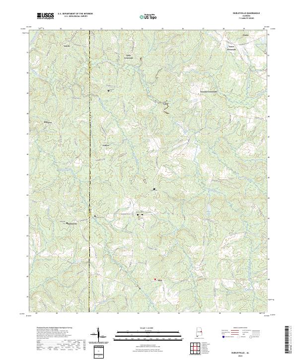
2024 Lafayette
Chambers County, AL
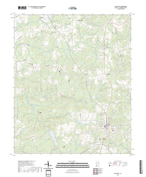
2024 Lanett North
Chambers County, AL
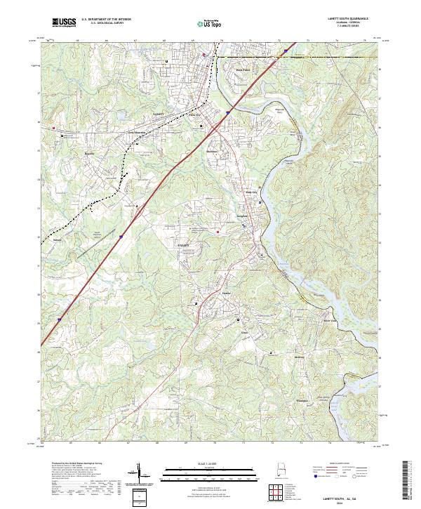
2024 Lanett South
Chambers County, AL
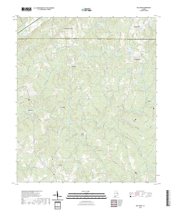
2024 Milltown
Chambers County, AL
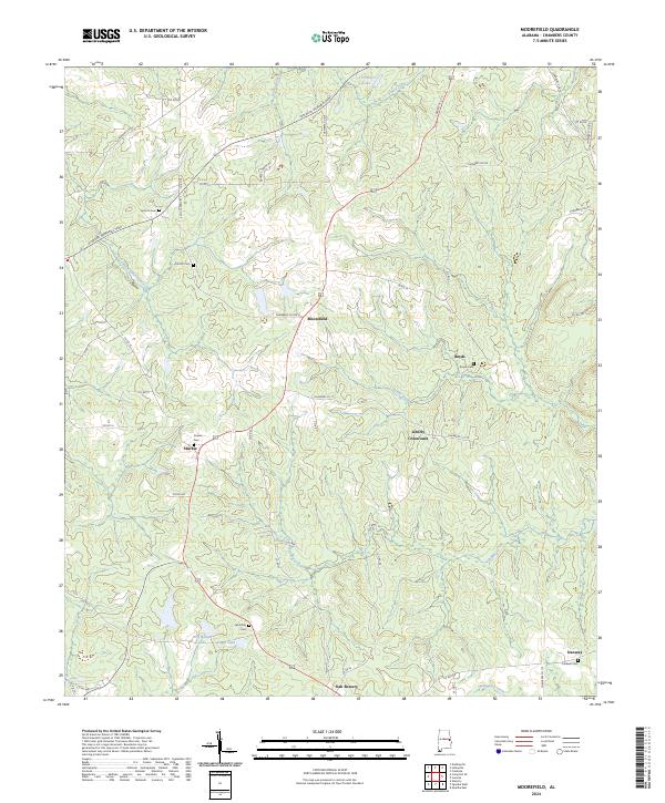
2024 Moorefield
Chambers County, AL
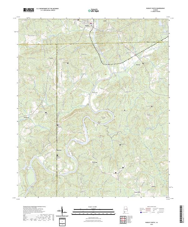
2024 Wadley South
Chambers County, AL