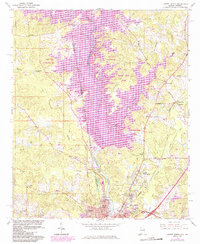
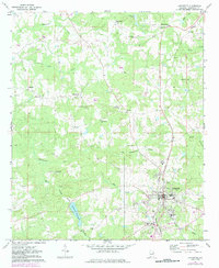
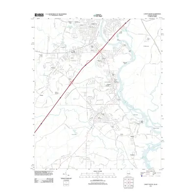
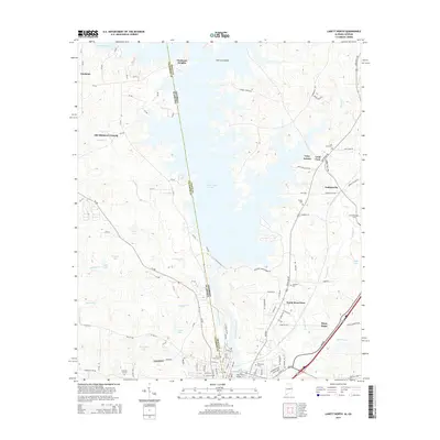
1964 Map of Lanett North
USGS Topo · Published 1984About this map
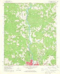
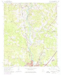
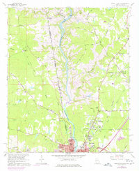
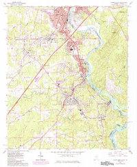
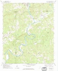
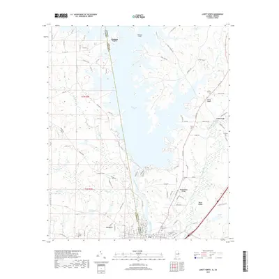
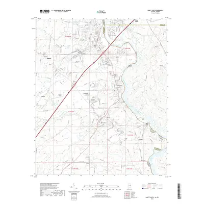
The Chattahoochee River defines the border between Alabama and Georgia as it flows south toward the industrial centers of Lanett and West Point. This landscape underwent a significant transformation in the mid-20th century with the creation of West Point Lake, which inundated much of the river valley. The map documents the extensive network of recreational areas established along the new shoreline, including Burnt Village Park, Maple Creek Park, and R Shaefer Heard Park.
Find a feature on this map
61 named features on this map. Tap any name to fly to it.
Don’t see what you’re looking for? This feature index may not catch every label — zoom into the map to look around manually.
Map Details
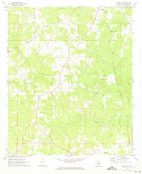
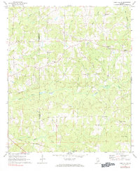
Editions of this 1964 Lanett North Map
4 editions found
Historical Maps of Lanett Through Time
49 maps found
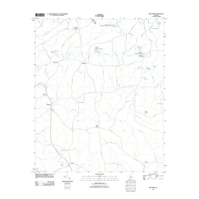
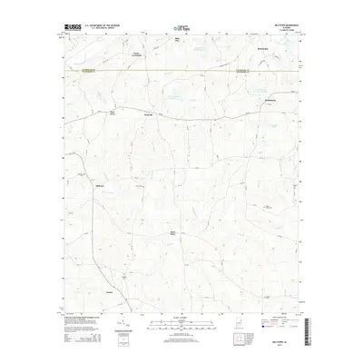
1964 Lanett North
Chambers County, AL
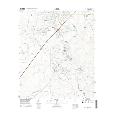
1964 Lanett South
Chambers County, AL
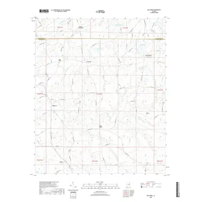
1969 Milltown
Chambers County, AL
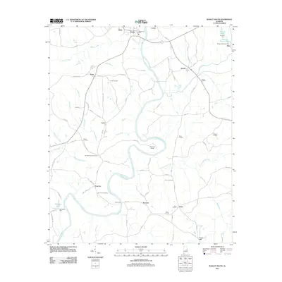
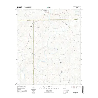
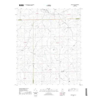
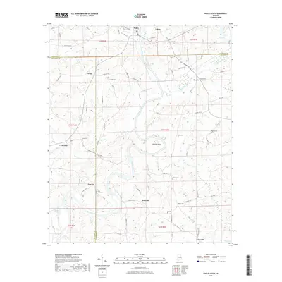
1969 Wadley South
Chambers County, AL
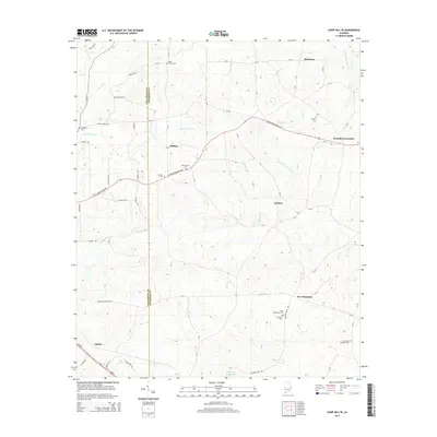
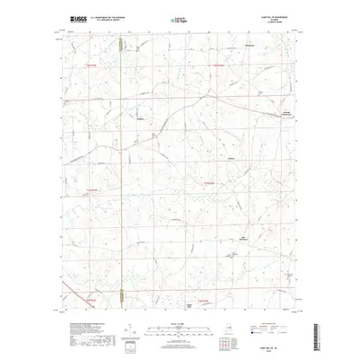
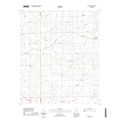
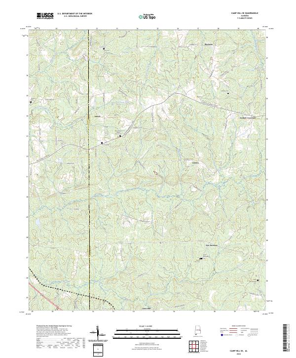
1971 Camp Hill SE
Chambers County, AL

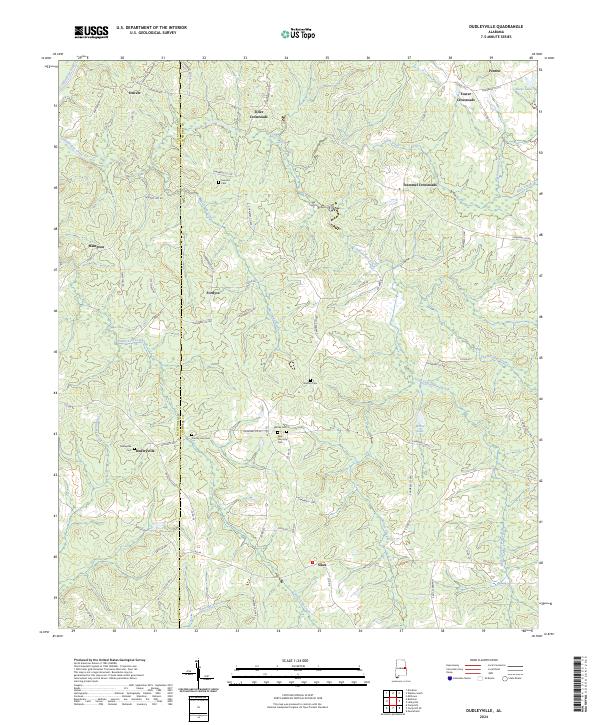
1971 Dudleyville
Chambers County, AL
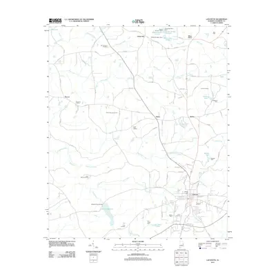
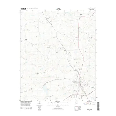
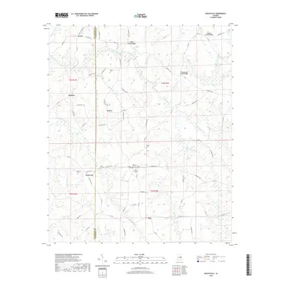
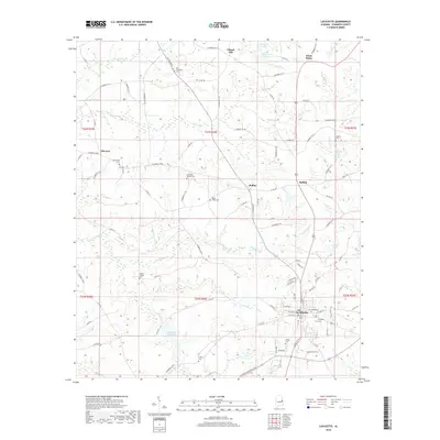
1971 Lafayette
Chambers County, AL
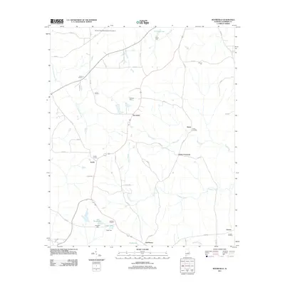
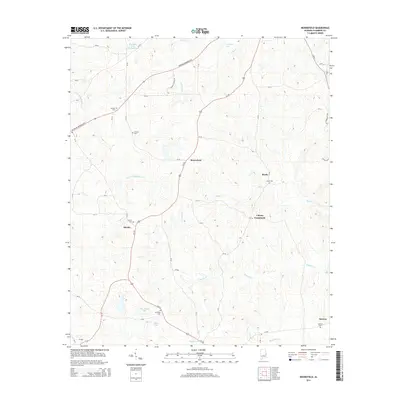
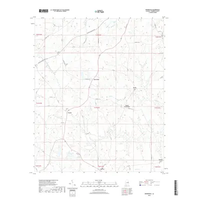
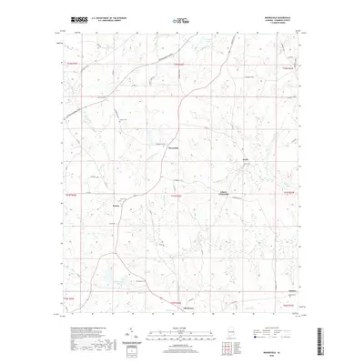
1971 Moorefield
Chambers County, AL
1981 Camp Hill SE
Chambers County, AL
2011 Camp Hill SE
Chambers County, AL
2011 Dudleyville
Chambers County, AL
2011 Lafayette
Chambers County, AL
2011 Lanett North
Chambers County, AL
2011 Lanett South
Chambers County, AL
2011 Milltown
Chambers County, AL
2011 Moorefield
Chambers County, AL
2011 Wadley South
Chambers County, AL
2014 Camp Hill SE
Chambers County, AL
2014 Dudleyville
Chambers County, AL
2014 Lafayette
Chambers County, AL
2014 Lanett North
Chambers County, AL
2014 Lanett South
Chambers County, AL
2014 Milltown
Chambers County, AL
2014 Moorefield
Chambers County, AL
2014 Wadley South
Chambers County, AL
2018 Camp Hill SE
Chambers County, AL
2018 Dudleyville
Chambers County, AL
2018 Lafayette
Chambers County, AL
2018 Lanett North
Chambers County, AL
2018 Lanett South
Chambers County, AL
2018 Milltown
Chambers County, AL
2018 Moorefield
Chambers County, AL
2018 Wadley South
Chambers County, AL
2020 Camp Hill SE
Chambers County, AL
2020 Dudleyville
Chambers County, AL
2020 Lafayette
Chambers County, AL

2020 Lanett North
Chambers County, AL
2020 Lanett South
Chambers County, AL
2020 Milltown
Chambers County, AL
2020 Moorefield
Chambers County, AL
2020 Wadley South
Chambers County, AL
2024 Camp Hill SE
Chambers County, AL
2024 Dudleyville
Chambers County, AL
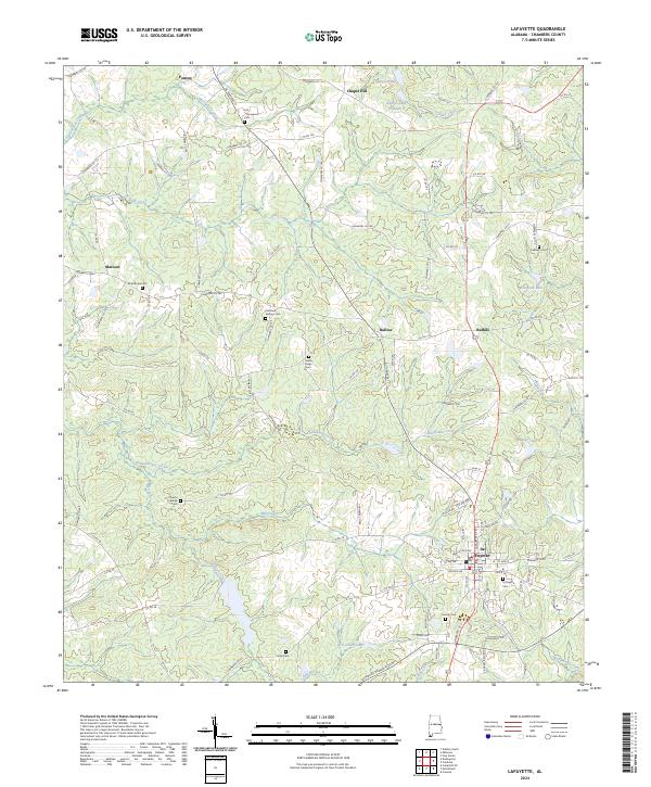
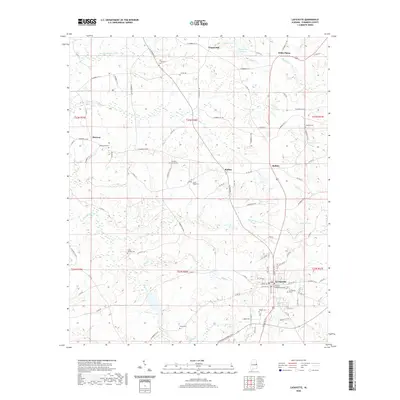
2024 Lafayette
Chambers County, AL
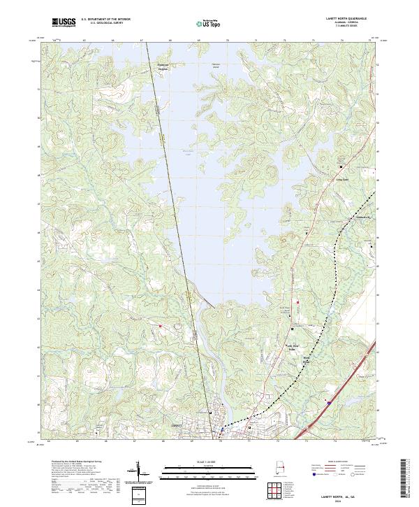
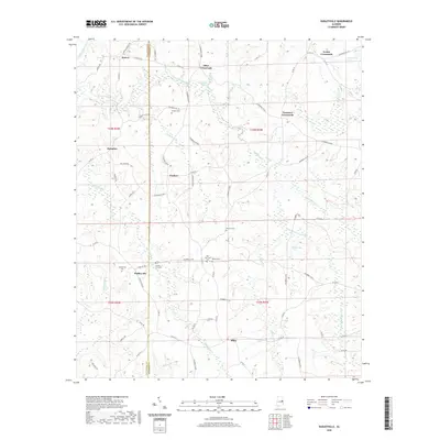
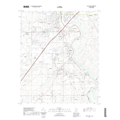
2024 Lanett North
Chambers County, AL
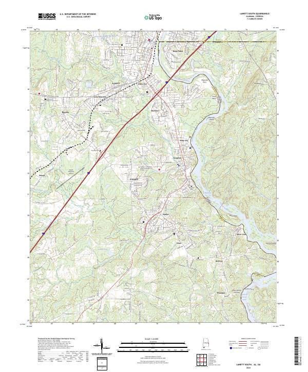
2024 Lanett South
Chambers County, AL
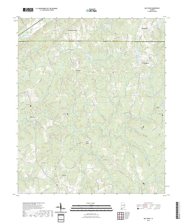
2024 Milltown
Chambers County, AL
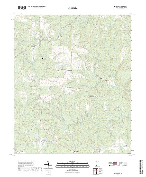
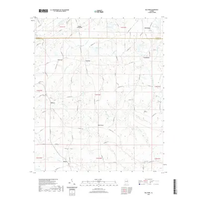
2024 Moorefield
Chambers County, AL
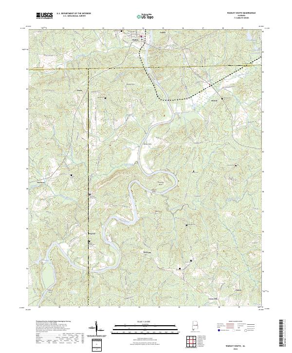
2024 Wadley South
Chambers County, AL