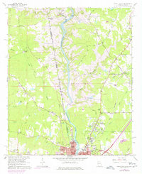
1964 Map of Lanett North
USGS Topo · Published 1977About this map
The Chattahoochee River carves a central path through this landscape along the Georgia Alabama state line, illustrating the mid-century transformation of the river valley. The emergence of West Point Lake is a defining element, showing how newly flooded areas reshaped the borderlands between Lanett and West Point. Settlement patterns reveal established textile and industrial hubs, while the rural outskirts are dotted with family landmarks and community anchors like Traylor Cem and Reeds Chapel.
Find a feature on this map
62 named features on this map. Tap any name to fly to it.
Don’t see what you’re looking for? This feature index may not catch every label — zoom into the map to look around manually.
Map Details
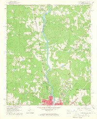
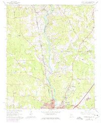
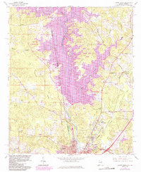
Editions of this 1964 Lanett North Map
4 editions found
Other maps of this area

1899 · Wedowee
USGS Topo · 1:125,000

1902 · Wedowee
USGS Topo · 1:125,000

1907 · Opelika
USGS Topo · 1:125,000

1909 · Opelika
USGS Topo · 1:125,000

1953 · Atlanta
USGS Topo · 1:250,000

1955 · Phenix City
USGS Topo · 1:250,000

1957 · Phenix City
USGS Topo · 1:250,000

1957 · Atlanta
USGS Topo · 1:250,000

1958 · Phenix City
USGS Topo · 1:250,000

1958 · Atlanta
USGS Topo · 1:250,000