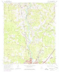
1964 Map of Lanett North
USGS Topo · Published 1975About this map
The Chattahoochee River corridor at the Georgia Alabama border transitions into a major reservoir landscape as West Point Lake begins to back up into the tributary valleys of Maple Creek and Wehadkee Creek. This 1960s era view captures the twin industrial hubs of Lanett and West Point before late-century urban expansion, showing the intricate network of the Chattahoochee Valley RR and the Western Railway of Alabama serving the river valley.
Find a feature on this map
53 named features on this map. Tap any name to fly to it.
Don’t see what you’re looking for? This feature index may not catch every label — zoom into the map to look around manually.
Map Details
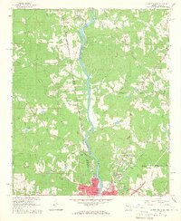
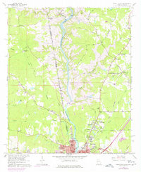
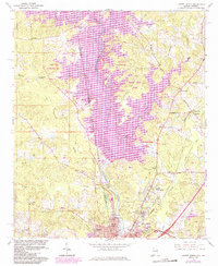
Editions of this 1964 Lanett North Map
4 editions found
Other maps of this area

1899 · Wedowee
USGS Topo · 1:125,000

1902 · Wedowee
USGS Topo · 1:125,000

1907 · Opelika
USGS Topo · 1:125,000

1909 · Opelika
USGS Topo · 1:125,000

1953 · Atlanta
USGS Topo · 1:250,000

1955 · Phenix City
USGS Topo · 1:250,000

1957 · Phenix City
USGS Topo · 1:250,000

1957 · Atlanta
USGS Topo · 1:250,000

1958 · Phenix City
USGS Topo · 1:250,000

1958 · Atlanta
USGS Topo · 1:250,000