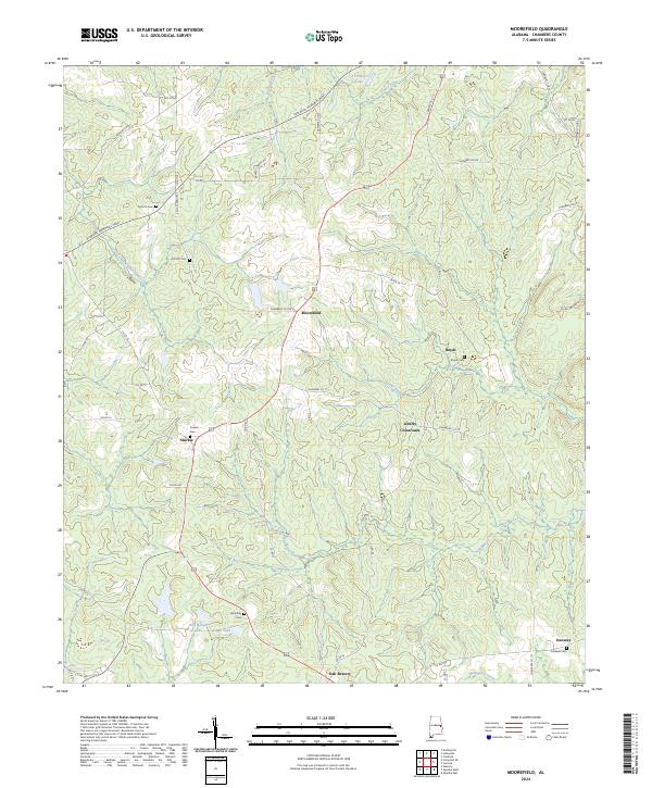
2024 Map of Moorefield
USGS Topo · Published 2024About this map
Moorefield sits at a crossroads in central Chambers County, serving as a hub for several smaller rural settlements including Boyds, Sturkie, and Liberty Crossroads. The landscape is defined by the headwaters of numerous creeks, such as Boyds Creek and Snapper Creek, which flow through a rolling terrain marked by a mix of agricultural clearings and forested land. This 2024 map documents the area during a period of modern connectivity, where the Veterans Memorial Pkwy and Lafayette St S intersect with a dense network of county roads.
Find a feature on this map
60 named features on this map. Tap any name to fly to it.
Don’t see what you’re looking for? This feature index may not catch every label — zoom into the map to look around manually.
Map Details
Editions of this 2024 Moorefield Map
This is the sole edition of this map. No revisions or reprints were ever made.
Other maps of this area

1906 · Dadeville
USGS Topo · 1:125,000

1907 · Opelika
USGS Topo · 1:125,000

1909 · Opelika
USGS Topo · 1:125,000

1955 · Phenix City
USGS Topo · 1:250,000

1957 · Phenix City
USGS Topo · 1:250,000

1958 · Phenix City
USGS Topo · 1:250,000
1970 · Opelika East
USGS Topo · 1:24,000
1971 · Waverly
USGS Topo · 1:24,000
1971 · Cusseta
USGS Topo · 1:24,000
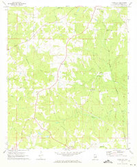
1971 · Moorefield
USGS Topo · 1:24,000