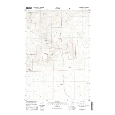
2014 Map of Camp Needmore
USGS Topo · Published 2014About this map
Custer National Forest encompasses the majority of this landscape in southeast Montana, where the timbered ridges of the Ekalaka Hills rise above the surrounding plains. The local geography is defined by a dense network of drainage systems and seasonal water sources, including Heggen Cr, Little Ramme Cr, and numerous named springs like Russell Spring and Martin Spring. For those researching regional history, the Russell Cem and the naming of Camp Needmore provide tangible links to the early homesteading and ranching families of Carter County. Transportation through this part of the forest relies on a grid of rural routes such as McCloud Rd and the Pershing Cutoff, which connect isolated parcels of private land within the federally managed forest boundaries. The terrain transitions from deep incisions like Heggen Draw to more open stretches along MT-323 in the western portion of the map.
Find a feature on this map
31 named features on this map. Tap any name to fly to it.
Don’t see what you’re looking for? This feature index may not catch every label — zoom into the map to look around manually.
Map Details
Editions of this 2014 Camp Needmore Map
This is the sole edition of this map. No revisions or reprints were ever made.
Other maps of this area

1954 · Ekalaka
USGS Topo · 1:250,000

1956 · Ekalaka
USGS Topo · 1:250,000

1958 · Ekalaka
USGS Topo · 1:250,000

1965 · Ekalaka
USGS Topo · 1:250,000

1979 · Dead Boy Divide
USGS Topo · 1:24,000

1979 · Ekalaka
USGS Topo · 1:24,000

1980 · Taylor Hills
USGS Topo · 1:24,000

1980 · Belltower
USGS Topo · 1:24,000

1980 · Camp Needmore
USGS Topo · 1:24,000

1980 · Dutchmans Hill
USGS Topo · 1:24,000