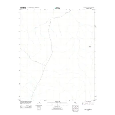
2012 Map of Camp Rock Mine
USGS Topo · Published 2012About this map
The Camp Rock Mine is the central historical landmark in this arid reach of the Rodman Mountains, reflecting the mineral extraction efforts common in San Bernardino County’s desert interior. This 2012 survey documents a remote landscape defined by the drainage of Kane Wash, which trends northeast across the high terrain. Access to the area is primarily afforded by the junction of Camp Rock Rd and Troy Rd, which cut through the open desert floor to reach the mining site. The spatial relationship between the wash and the mountain foothills reveals a typical pattern of desert topography where seasonal watercourses and isolation dictate the placement of local infrastructure and resource exploration.
Find a feature on this map
5 named features on this map. Tap any name to fly to it.
Don’t see what you’re looking for? This feature index may not catch every label — zoom into the map to look around manually.
Map Details
Editions of this 2012 Camp Rock Mine Map
This is the sole edition of this map. No revisions or reprints were ever made.
Other maps of this area

1953 · San Bernardino
USGS Topo · 1:250,000

1955 · Silver Bell Mine
USGS Topo · 1:24,000

1955 · Newberry
USGS Topo · 1:62,500

1955 · Ord Mountains
USGS Topo · 1:62,500

1955 · Rodman Mountains
USGS Topo · 1:62,500

1956 · San Bernardino
USGS Topo · 1:250,000

1956 · Daggett
USGS Topo · 1:62,500

1957 · San Bernardino
USGS Topo · 1:250,000

1958 · San Bernardino
USGS Topo · 1:250,000

1959 · San Bernardino
USGS Topo · 1:250,000