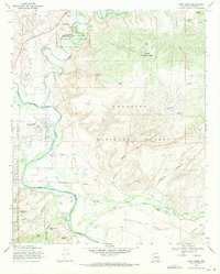
1969 Map of Camp Verde
USGS Topo · Published 1971About this map
Montezuma Castle National Monument anchors the northern reaches of this landscape, where the ancient Cliff Dwelling overlooks the meandering course of Beaver Creek. The map documents the mid-century intersection of federal land management and indigenous history, specifically outlining the Lower Camp Verde Ind Res and the Camp Verde Military Reservation Boundary. This 1969 field-checked survey highlights the significance of water in the high desert, meticulously labeling livestock and storage points such as Hat Ranch Tank and Cochran Tank.
Find a feature on this map
43 named features on this map. Tap any name to fly to it.
Don’t see what you’re looking for? This feature index may not catch every label — zoom into the map to look around manually.
Map Details
Editions of this 1969 Camp Verde Map
2 editions found
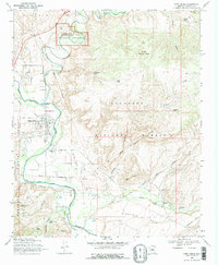
Other maps of this area

1887 · Verde
USGS Topo · 1:250,000

1892 · Verde
USGS Topo · 1:250,000

1923 · Camp Verde
USGS Topo · 1:125,000

1929 · Turret Peak
USGS Topo · 1:125,000

1932 · Camp Verde
USGS Topo · 1:125,000

1933 · Turret Peak
USGS Topo · 1:125,000

1936 · Camp Verde
USGS Topo · 1:125,000

1954 · Holbrook
USGS Topo · 1:250,000

1957 · Holbrook
USGS Topo · 1:250,000

1958 · Holbrook
USGS Topo · 1:250,000
Featured Places
- Camp Verde, AZ
- Yavapai County, AZ
- United States
- Jordan Meadows, Camp Verde
- Mountain View Estates, Camp Verde