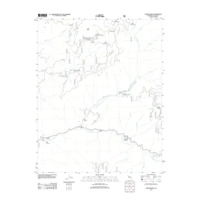
2012 Map of Camp Wishon
USGS Topo · Published 2012About this map
Mountain Home State Forest dominates this landscape, where the Sierra Nevada's high-elevation drainages converge into the forks of the Tule River. The area is defined by its recreation and conservation infrastructure, ranging from the Mountain Home Conservation Camp to numerous forest service sites like Frasier Mill Campground and the Old Mountain Home Picnic Area. This 2012 survey illustrates the complex management of timber and water resources, highlighted by the Moorehouse Springs Fish Hatchery near Mahogany Flat.
Find a feature on this map
81 named features on this map. Tap any name to fly to it.
Don’t see what you’re looking for? This feature index may not catch every label — zoom into the map to look around manually.
Map Details
Editions of this 2012 Camp Wishon Map
This is the sole edition of this map. No revisions or reprints were ever made.
Other maps of this area

1904 · Kaweah
USGS Topo · 1:125,000

1909 · Kaweah
USGS Topo · 1:125,000

1937 · Kaweah
USGS Topo · 1:125,000

1948 · Fresno
USGS Topo · 1:250,000

1955 · Fresno
USGS Topo · 1:250,000

1956 · Fresno
USGS Topo · 1:250,000
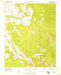
1956 · Globe
USGS Topo · 1:24,000

1956 · Mineral King
USGS Topo · 1:62,500
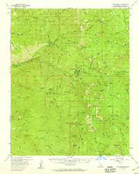
1956 · Camp Nelson
USGS Topo · 1:62,500
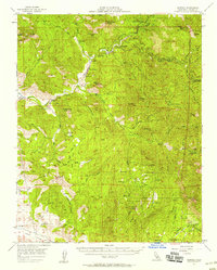
1957 · Kaweah
USGS Topo · 1:62,500