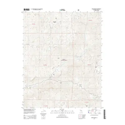
2015 Map of Camp Wishon
USGS Topo · Published 2015About this map
Sequoia National Forest defines the high-elevation landscape of this 2015 survey, where the drainages of the Middle Fork Tule River have carved deep relief into the Sierra Nevada. The small mountain community of Mountain Home sits at the northern edge of the map, connected by Balch Park Rd to points north, while Camp Wishon serves as a central hub near the confluence of Hossack Cr and the N Fork Middle Fork Tule River.
Find a feature on this map
43 named features on this map. Tap any name to fly to it.
Don’t see what you’re looking for? This feature index may not catch every label — zoom into the map to look around manually.
Map Details
Editions of this 2015 Camp Wishon Map
This is the sole edition of this map. No revisions or reprints were ever made.
Other maps of this area

1904 · Kaweah
USGS Topo · 1:125,000

1909 · Kaweah
USGS Topo · 1:125,000

1937 · Kaweah
USGS Topo · 1:125,000

1948 · Fresno
USGS Topo · 1:250,000

1955 · Fresno
USGS Topo · 1:250,000

1956 · Fresno
USGS Topo · 1:250,000
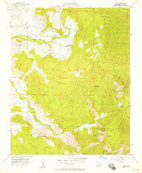
1956 · Globe
USGS Topo · 1:24,000

1956 · Mineral King
USGS Topo · 1:62,500
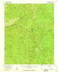
1956 · Camp Nelson
USGS Topo · 1:62,500
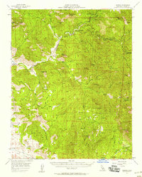
1957 · Kaweah
USGS Topo · 1:62,500