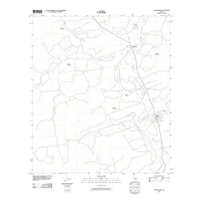
2022 Map of Camp Wood
USGS Topo · Published 2022About this map
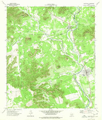
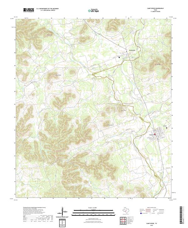
The Nueces River carves a deep valley through the canyon country of the southwestern Edwards Plateau, serving as the central artery for the adjacent communities of Barksdale and Camp Wood. This modern survey documents the rugged topographic transition between Edwards and Real counties, where high ridges like Meridian Mtn and Pikes Peak look down upon spring-fed waterways. The settlement pattern remains concentrated near the river, with Barksdale Cem and the Garden of Memories cemetery providing significant points for genealogical research.
Find a feature on this map
62 named features on this map. Tap any name to fly to it.
Don’t see what you’re looking for? This feature index may not catch every label — zoom into the map to look around manually.
Map Details
Editions of this 2022 Camp Wood Map
This is the sole edition of this map. No revisions or reprints were ever made.
Historical Maps of Camp Wood Through Time
7 maps found