Loading...
Loading map...1973 Map of Camp Wood
USGS Topo · Published 1976About this map
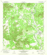
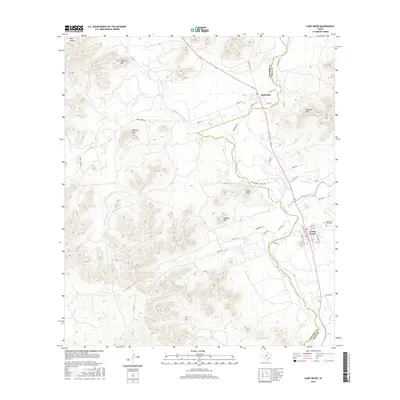
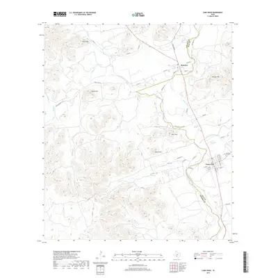
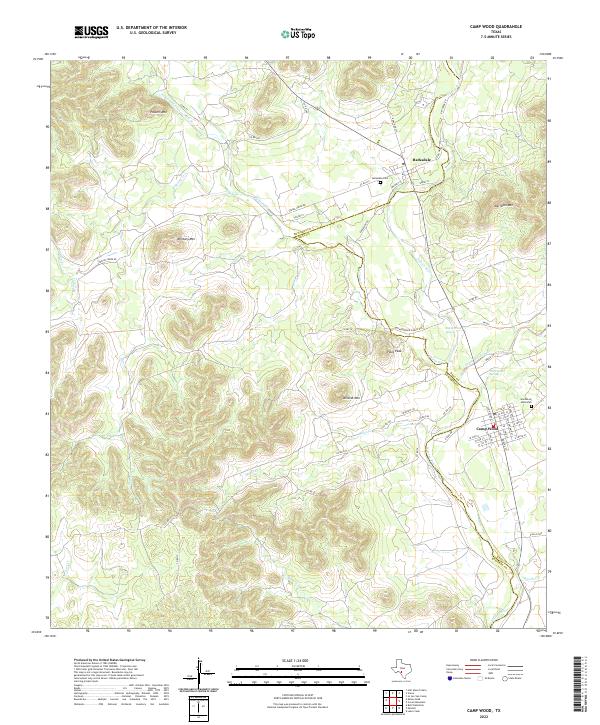
Barksdale and Camp Wood anchor this portion of the Hill Country along the Nueces River in the early 1970s. The landscape is defined by its dramatic relief, with prominent heights such as Military Mountain, Wildcat Mountain, and Meridian Mountain rising above the river valley. The map documents the local social infrastructure of the era, from the Garden of Memories cemetery and Nueces Canyon High Sch to Camp Fawcett and Bruce Park.
Find a feature on this map
29 named features on this map. Tap any name to fly to it.
Don’t see what you’re looking for? This feature index may not catch every label — zoom into the map to look around manually.
Map Details
Date Portrayed1973
Date Published1976
PublisherU.S. Geological Survey
Map TypeTopographic
Scale1:24,000
Physical Dimensions23.2 x 27.1 inches
Editions of this 1973 Camp Wood Map
This is the sole edition of this map. No revisions or reprints were ever made.
Historical Maps of Camp Wood Through Time
7 maps found
Featured Locations
Source Details
SourceU.S. Geological Survey
CopyrightPublic Domain