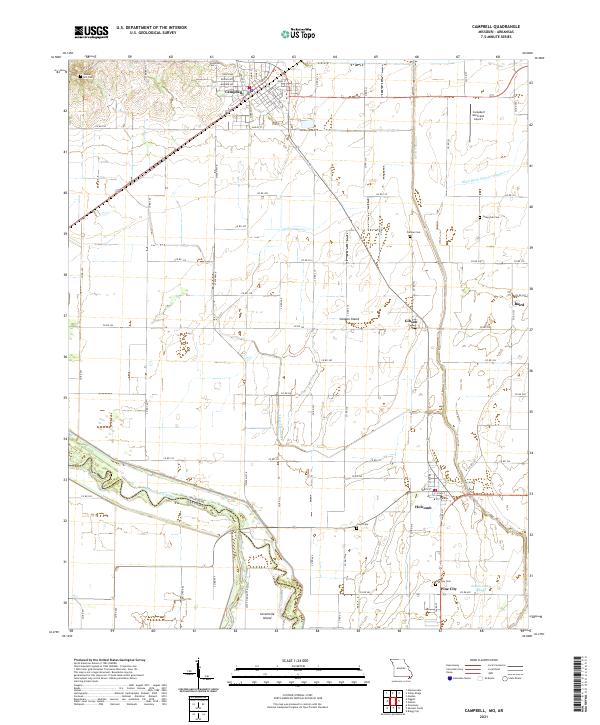
2021 Map of Campbell
USGS Topo · Published 2021About this map
Campbell and Holcomb anchor this landscape where the Missouri Bootheel meets the Arkansas border. The terrain is defined by the winding course of the Saint Francis River, which serves as the natural boundary between Dunklin and Clay counties. This riverine environment includes landforms like Sevenmile Island and Canaan Island, illustrating how the waterway has historically shaped local property and political lines. An extensive network of drainage features, such as Ditch Number 1 and Main Ditch District Number 17, highlights the engineering required to manage the flat, low-lying agricultural lands of the Mississippi Alluvial Plain.
Find a feature on this map
86 named features on this map. Tap any name to fly to it.
Don’t see what you’re looking for? This feature index may not catch every label — zoom into the map to look around manually.
Map Details
Editions of this 2021 Campbell Map
This is the sole edition of this map. No revisions or reprints were ever made.
Other maps of this area

1940 · Malden
USGS Topo · 1:62,500

1940 · Pascola
USGS Topo · 1:62,500

1940 · Valley Ridge
USGS Topo · 1:62,500

1940 · Piggott
USGS Topo · 1:62,500

1955 · Pascola
USGS Topo · 1:62,500

1956 · Valley Ridge
USGS Topo · 1:62,500

1956 · Piggott
USGS Topo · 1:62,500

1956 · Malden
USGS Topo · 1:62,500

1956 · Dyersburg
USGS Topo · 1:250,000

1957 · Poplar Bluff
USGS Topo · 1:250,000