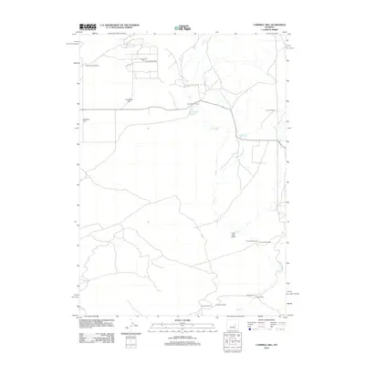
2012 Map of Campbell Hill
USGS Topo · Published 2012About this map
Cole Creek Oil Field defines the industrial footprint of this central Wyoming landscape, where a network of service roads like Oil Field Rd connects energy production with high-plains agriculture. The area is characterized by a legacy of large-scale ranching operations, with several named properties established across the drainage of Cole Cr. These family-named landmarks, such as Double Bar Two Ranch and the Reverse K Two Ranch, emphasize the long-standing livestock tradition in Natrona County.
Find a feature on this map
13 named features on this map. Tap any name to fly to it.
Don’t see what you’re looking for? This feature index may not catch every label — zoom into the map to look around manually.
Map Details
Editions of this 2012 Campbell Hill Map
This is the sole edition of this map. No revisions or reprints were ever made.
Other maps of this area

1949 · Brookhurst
USGS Topo · 1:24,000

1949 · Campbell Hill
USGS Topo · 1:24,000

1949 · Parkerton
USGS Topo · 1:24,000

1949 · Glenrock NW
USGS Topo · 1:24,000

1949 · Pratts Soda Lakes
USGS Topo · 1:24,000

1950 · Campbell Hill
USGS Topo · 1:24,000

1950 · Lockett
USGS Topo · 1:24,000

1950 · Brookhurst
USGS Topo · 1:24,000

1950 · Parkerton
USGS Topo · 1:24,000

1950 · Glenrock NW
USGS Topo · 1:24,000