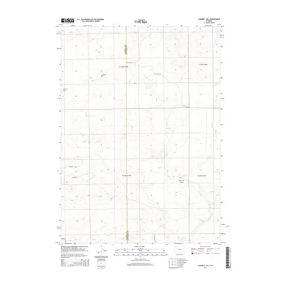
2015 Map of Campbell Hill
USGS Topo · Published 2015About this map
Campbell Hill and Johnson Hill rise above the high plains of central Wyoming along the border where Natrona and Converse counties meet. This 2015 survey reveals an landscape defined by its resource economy and the infrastructure that supports it, particularly along Oil Field Rd and Coal Shadow Rd. The drainage of Cole Cr cuts through the terrain, leading toward the southern reaches of Lone Tree Gulch. While much of the area remains open range, the emergence of residential naming conventions is evident in the southwest near Ridgeview Rd and E Sandpiper St. This map provides a clear record of the intersection between industrial access and early residential development in a region traditionally dominated by ranching and energy extraction.
Find a feature on this map
15 named features on this map. Tap any name to fly to it.
Don’t see what you’re looking for? This feature index may not catch every label — zoom into the map to look around manually.
Map Details
Editions of this 2015 Campbell Hill Map
This is the sole edition of this map. No revisions or reprints were ever made.
Other maps of this area

1949 · Brookhurst
USGS Topo · 1:24,000

1949 · Campbell Hill
USGS Topo · 1:24,000

1949 · Parkerton
USGS Topo · 1:24,000

1949 · Glenrock NW
USGS Topo · 1:24,000

1949 · Pratts Soda Lakes
USGS Topo · 1:24,000

1950 · Campbell Hill
USGS Topo · 1:24,000

1950 · Lockett
USGS Topo · 1:24,000

1950 · Brookhurst
USGS Topo · 1:24,000

1950 · Parkerton
USGS Topo · 1:24,000

1950 · Glenrock NW
USGS Topo · 1:24,000