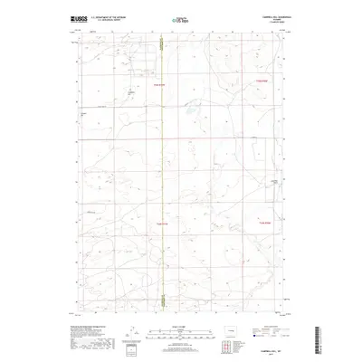
2017 Map of Campbell Hill
USGS Topo · Published 2017About this map
Campbell Hill and Johnson Hill dominate the high ground of this section of the Wyoming landscape, where the border between Natrona Co and Converse Co cuts through the open terrain. The drainage of Cole Cr meanders across the eastern half of the map, carving a path through the prairie south of Lone Tree Gulch. Human infrastructure is defined by a sparse network of county roads and section lines, including N Cole Creek Rd and Co Rd 22, which facilitate movement through this ranching and energy-production region. The survey illustrates the classic Public Land Survey System grid, with township and range lines such as t35n r77w and t34n r76w partitioning the land into orderly blocks common across the American West.
Find a feature on this map
12 named features on this map. Tap any name to fly to it.
Don’t see what you’re looking for? This feature index may not catch every label — zoom into the map to look around manually.
Map Details
Editions of this 2017 Campbell Hill Map
This is the sole edition of this map. No revisions or reprints were ever made.
Other maps of this area

1949 · Brookhurst
USGS Topo · 1:24,000

1949 · Campbell Hill
USGS Topo · 1:24,000

1949 · Parkerton
USGS Topo · 1:24,000

1949 · Glenrock NW
USGS Topo · 1:24,000

1949 · Pratts Soda Lakes
USGS Topo · 1:24,000

1950 · Campbell Hill
USGS Topo · 1:24,000

1950 · Lockett
USGS Topo · 1:24,000

1950 · Brookhurst
USGS Topo · 1:24,000

1950 · Parkerton
USGS Topo · 1:24,000

1950 · Glenrock NW
USGS Topo · 1:24,000